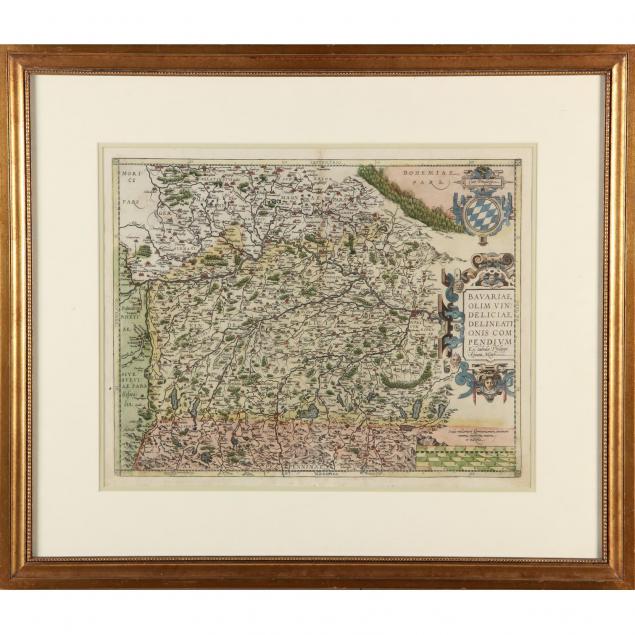
16th-century-map-of-bavaria-by-abraham-ortelius
Lot 278

16th Century Map of Bavaria by Abraham Ortelius

Explore more items like this one.

Visit our Historical Department Historical
Lot Details & Additional Photographs
Titled Bavariae, Olim Vindeliciae Delineationis Compendium Ex tabula Philippi Apiani Math, printed in Antwerp, copperplate engraving with hand-coloring, matted and framed under glass.

DOA 25.5 x 29.75 in.

Private Collection, Richmond, VA

$0 - 0