Lot 295
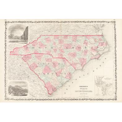
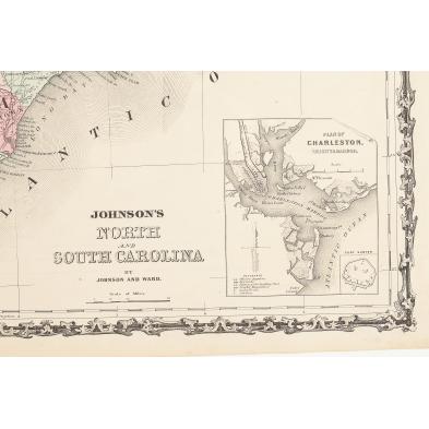
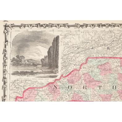
19th Century Map of the Carolinas
Explore more items like this one.
Visit our Prints, Multiples & Photographs Department Prints, Multiples & Photographs
Lot Details & Additional Photographs
18 x 26.25 in.
Even toning,a few trivial spots.
$200 - 400


