Lot 535
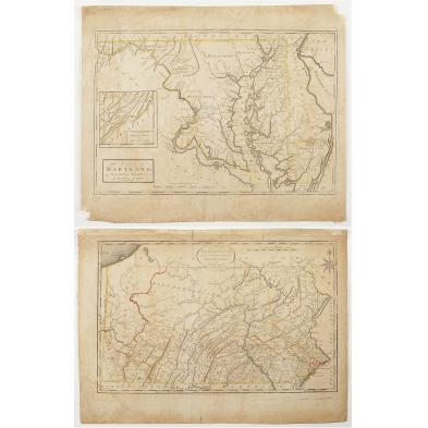
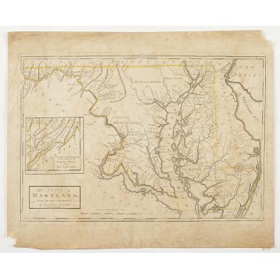
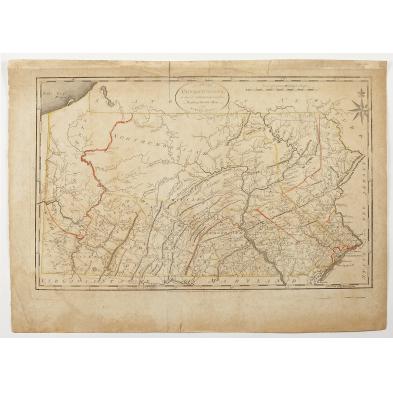
Late 18th Century Maryland and Pennsylvania Maps
Explore more items like this one.
Visit our Prints, Multiples & Photographs Department Prints, Multiples & Photographs
Lot Details & Additional Photographs
The Pennsylvania map's borders and county lines are hand-colored.
Good impressions with light-to-moderate foxing throughout; loss to the lower left and upper right corners of the Maryland map.
$400 - 500


