Lot 26
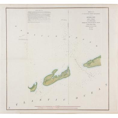
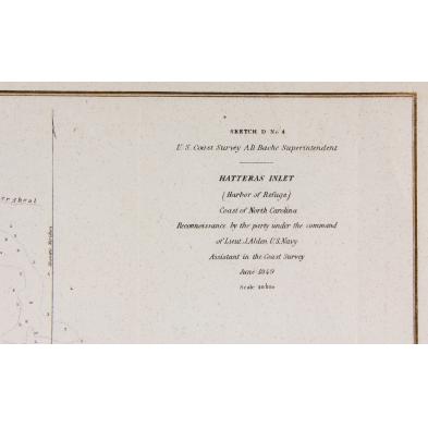
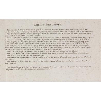
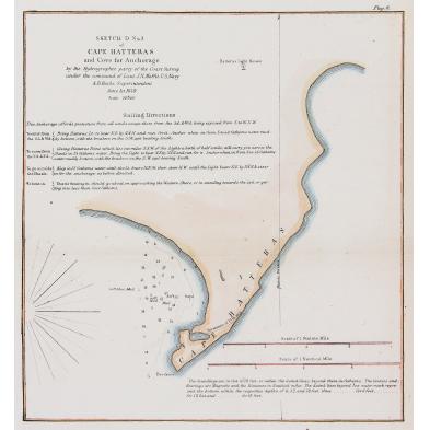
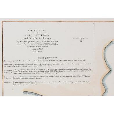
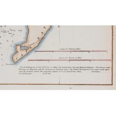
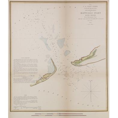
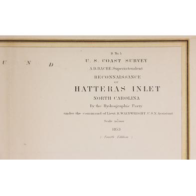
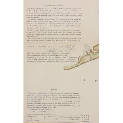
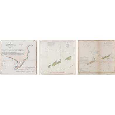
Three 19th Century Maps of Cape Hatteras
Explore more items like this one.
Visit our Historical Department Historical
Lot Details & Additional Photographs
Objects from the Bob Timberlake Collection, Lexington, NC
Selected objects from The Bob Timberlake Collection Bob Timberlake, an internationally acclaimed realist painter, furniture maker, author, and philanthropist lives in Lexington, North Carolina. Primarily known for his watercolor paintings, his depiction of life in his Native North Carolina has endeared his work to an international audience.
Such late antebellum maps were used extensively by both sides during Civil War coastal operations.
Light age toning; colors remain vibrant.
$0 - 0
