Lot Details & Additional Photographs
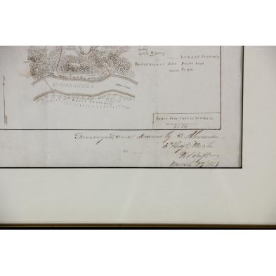
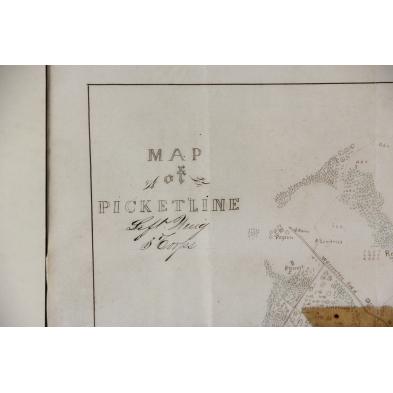
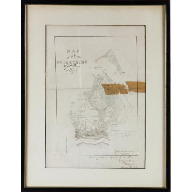
"Map of PICKETLINE Left Wing 3 Corps, Surveyed , and drawn by S. Alexander 3 Regt. Mich Vol Inft March 29 1863," shown are Union and Confederate positions on opposing sides of the Rappahannock River. Forests are tinted green while the picket posts are indicated by red triangles. Of particular interest is the placement of a Federal signal station on the bluffs directly above the river. Though not marked, the location is likely Stafford County, Virginia.
SS 13.75 x 9.5 in.; DOA 18.25 x 14 in.
Tape bleed through along a portion of the fold crease. else very fine condition.
$200 - 400