Lot 155
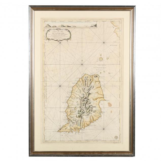
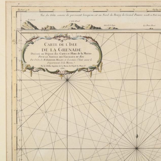
J. N. Bellin, 18th Century Map/Nautical Chart of Grenada
Explore more items like this one.
Visit our Historical Department Historical
Lot Details & Additional Photographs
DOA 30 x 42.5 in.
Two stains in lower right; fold creases, else fine appearance. Not examined out of the frame.


