Lot 150
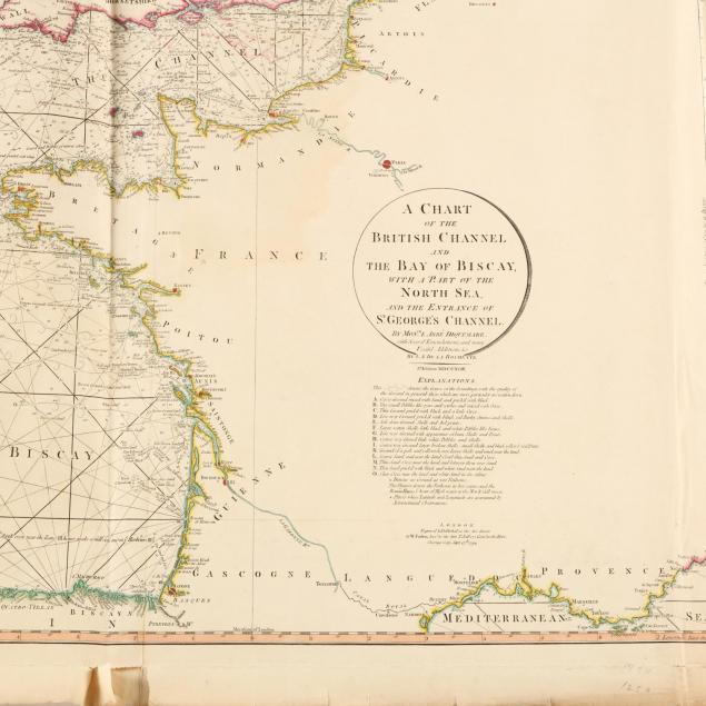
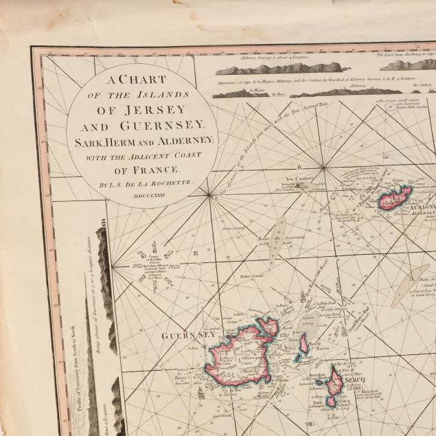
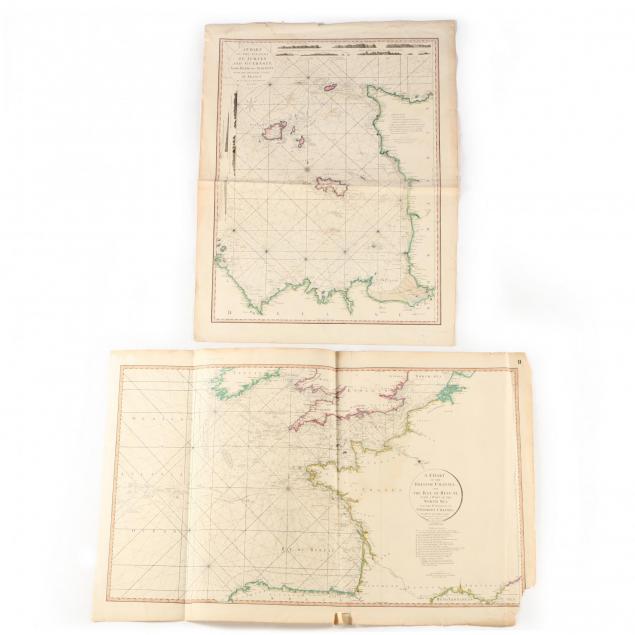
Two Late 18th Century Nautical Charts of the English Channel
Explore more items like this one.
Visit our Historical Department Historical
Lot Details & Additional Photographs
The Jersey map with marginal damp stains and small split at top edge; the Channel map with loss to lower right corner and some splits to edges.