Lot 152
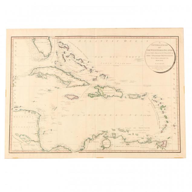
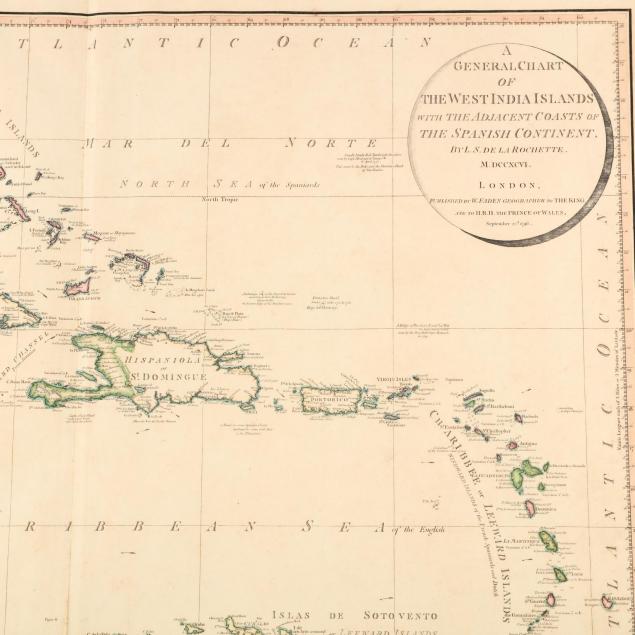
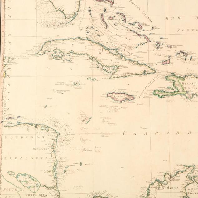
18th Century West Indies Map
Explore more items like this one.
Visit our Historical Department Historical
Lot Details & Additional Photographs
31 3/8 in. x 23 in.
Two small splits to top edge; tape remnants on lower edge.


