Lot 147
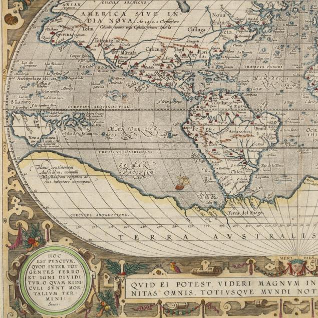
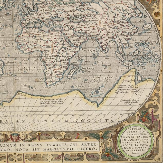
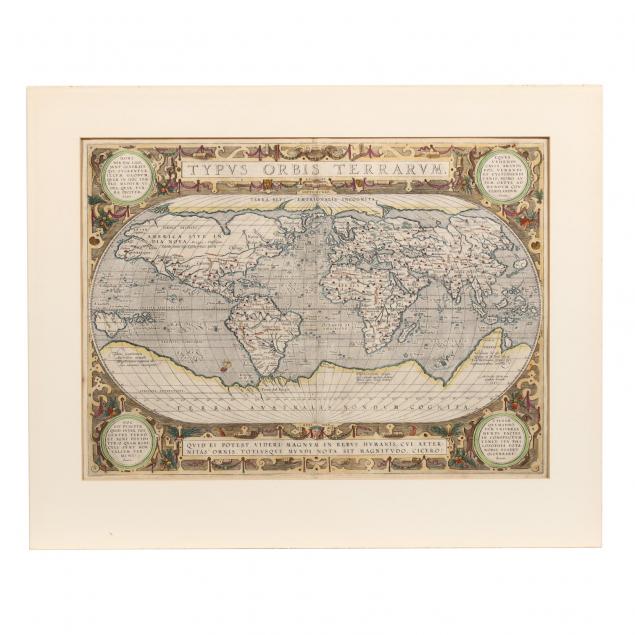
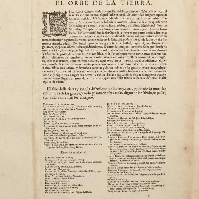
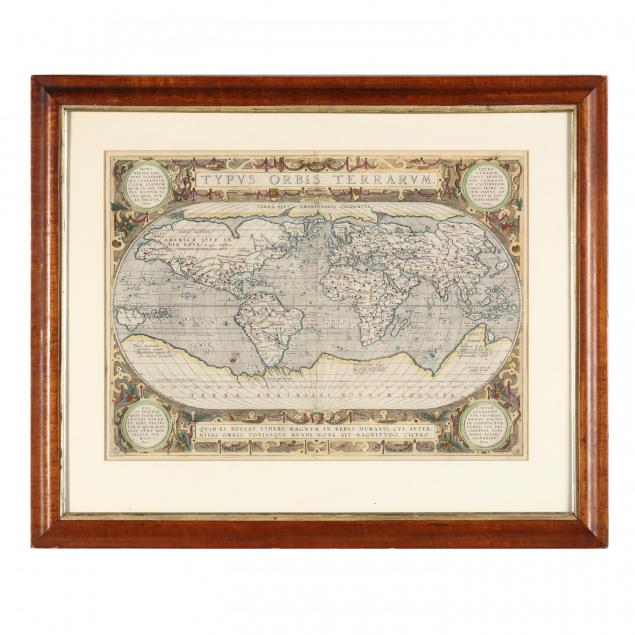
Celebrated 16th Century World Map by Abraham Ortelius
Explore more items like this one.
Visit our Historical Department Historical
Lot Details & Additional Photographs
Professionally matted in a wooden frame.
DOA 22 x 27 in.; Sheet 17.25 x 22 in.
Ex. Kenneth Nebenzahl, Inc.
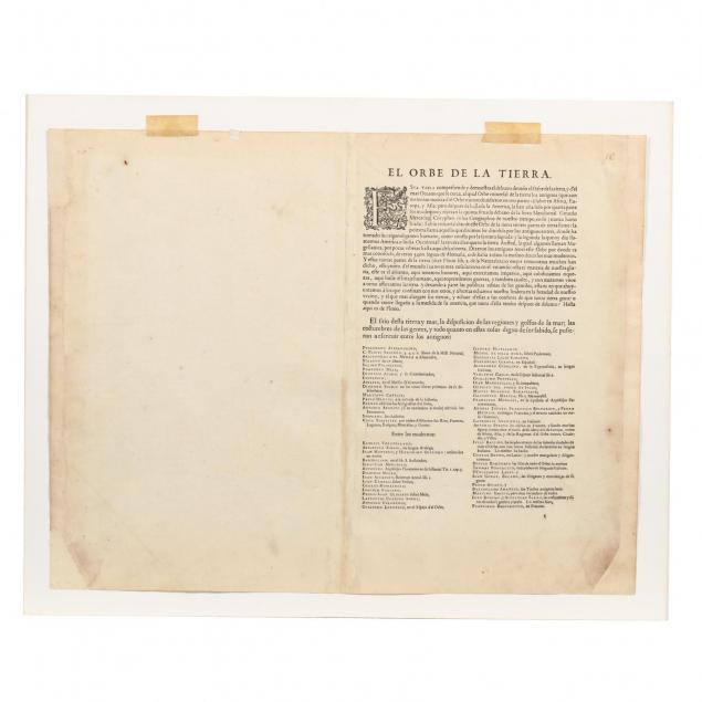
Solid with conservation to side margins; overall light soiling; a tiny pinpoint of loss in the upper right corner.
$1,000 - 3,000
