Lot 151
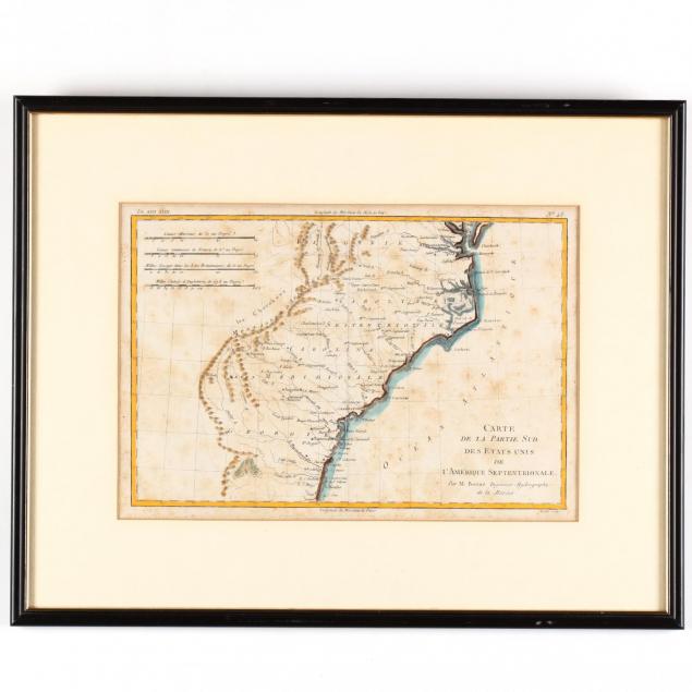
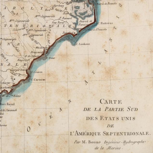
Late 18th Century French Map of the Southern United States
Explore more items like this one.
Visit our Historical Department Historical
Lot Details & Additional Photographs
DOA 15.25 x 19.25 in.
Collection of Mr. and Mrs. Ray Henderson, New Bern, North Carolina
Moderate foxing throughout; behind mat in late 20th century black plastic frame; not laid down.


