Lot 255
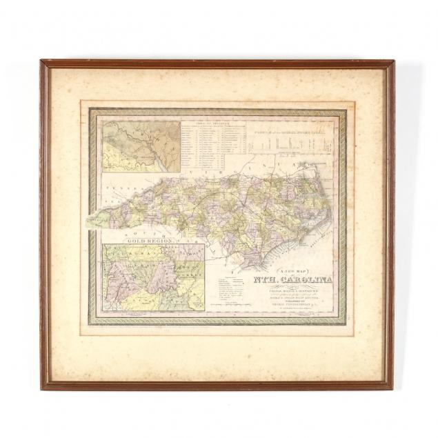
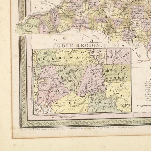
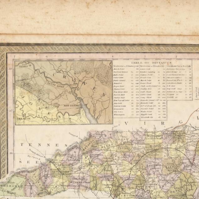
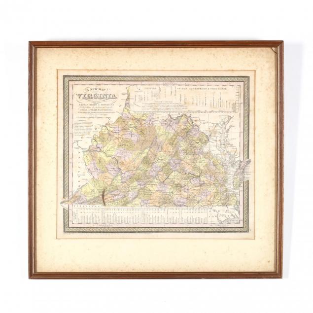
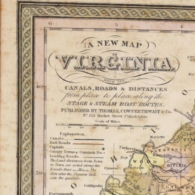
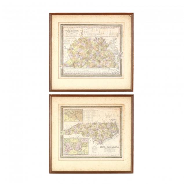
Antebellum Maps of Virginia and North Carolina
Explore more items like this one.
Visit our Historical Department Historical
Lot Details & Additional Photographs
DOA 17.75 x 19 in.
From the Thompson-Urquhart home in Lewiston-Woodville, NC
Moderate foxing; stains to the underside of the glass; not examined out of the frames.
