john-speed-s-celebrated-17th-century-map-of-the-carolinas
Lot 425

John Speed's Celebrated 17th Century Map of the Carolinas

Explore more items like this one.

Visit our Historical Department Historical
Lot Details & Additional Photographs
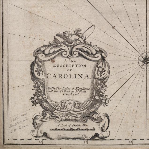
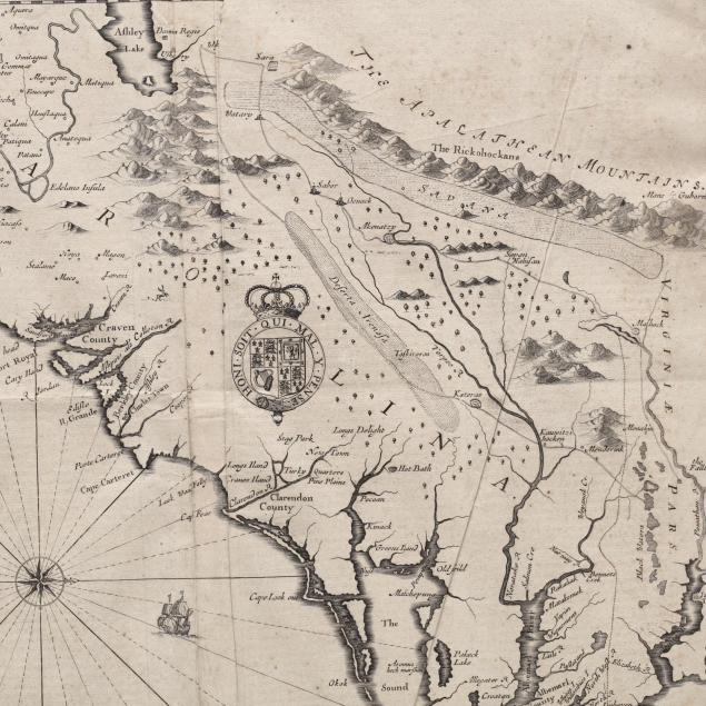
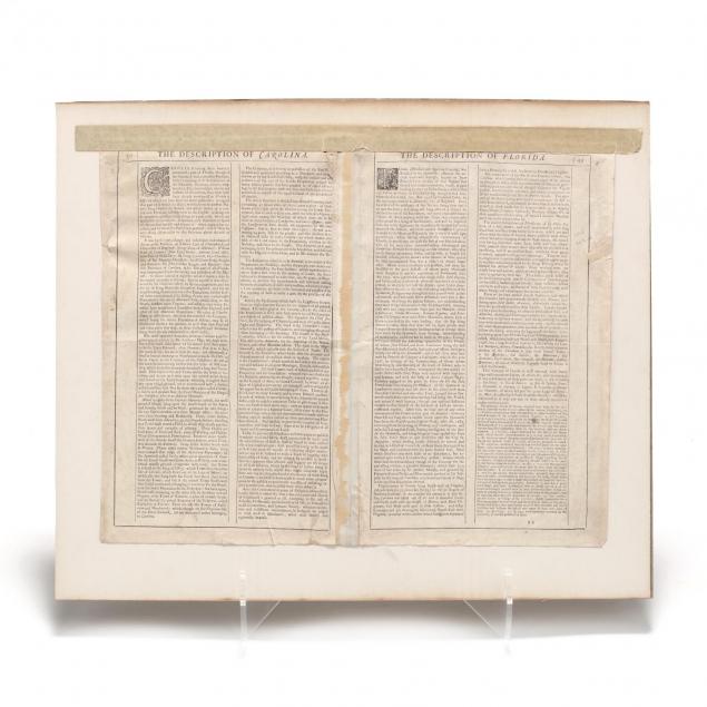
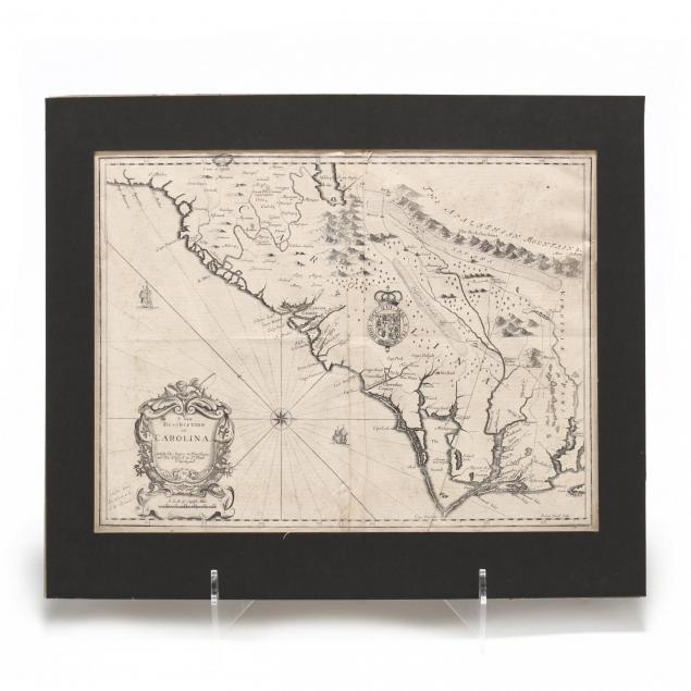
Un-colored copperplate engraving, A New Description of Carolina (London: Thomas Basset and Richard Chiswell,1676), engraved by Francis Lamb, from The Theatre of the Empire of Great Britain, depicting the Southeastern colonies from the mouth of the Chesapeake Bay to northern Florida; James Town, Charles Town, and St. Augustine are shown in addition to numerous Indian villages. English text on the verso describes the region. Unframed, taped to an old mat by the top edge.

Sheet size approximately 15.5 x 20.5 in.

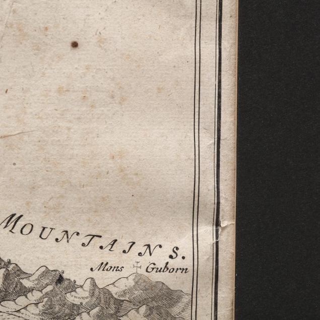
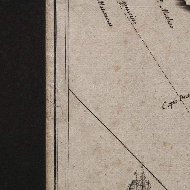
Right side with four small marginal splits and a diagonal crease; light foxing throughout; old repair to marginal split on left side; some stains; overall very good condition.

$1,500 - 2,500