Lot 1227
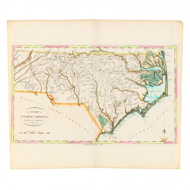
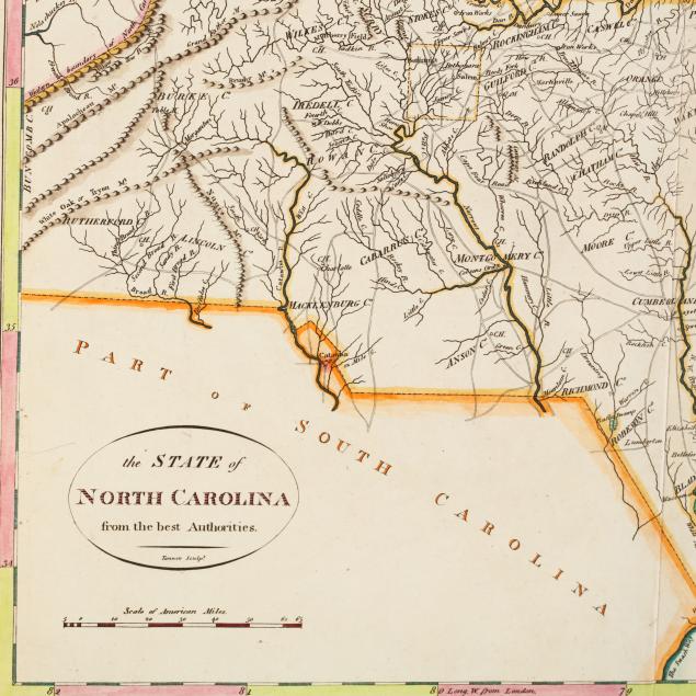
Late 18th Century Map of North Carolina
Explore more items like this one.
Visit our Historical Department Historical
Lot Details & Additional Photographs
Plate 11 x 18.5 in.; Sheet 16.75 x 19 in.
From a private North Carolina collection
Light browning to the edges, else fine condition.
$400 - 600


