Lot 1232
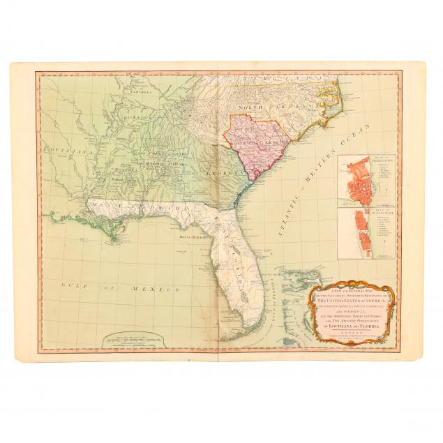
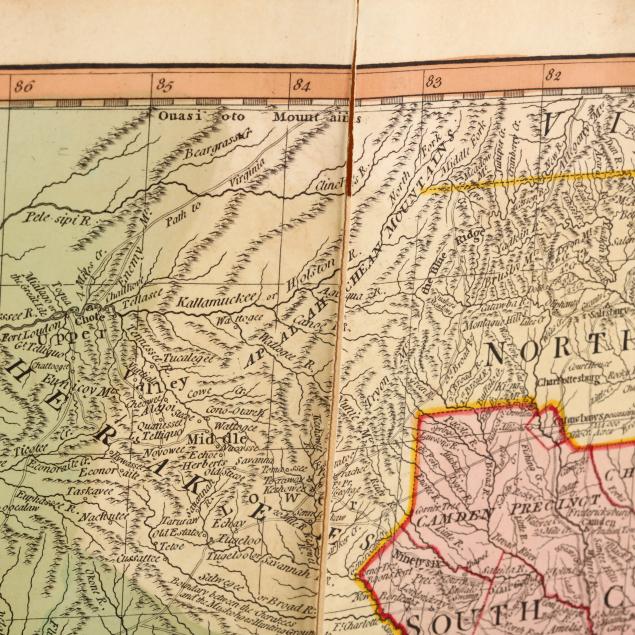
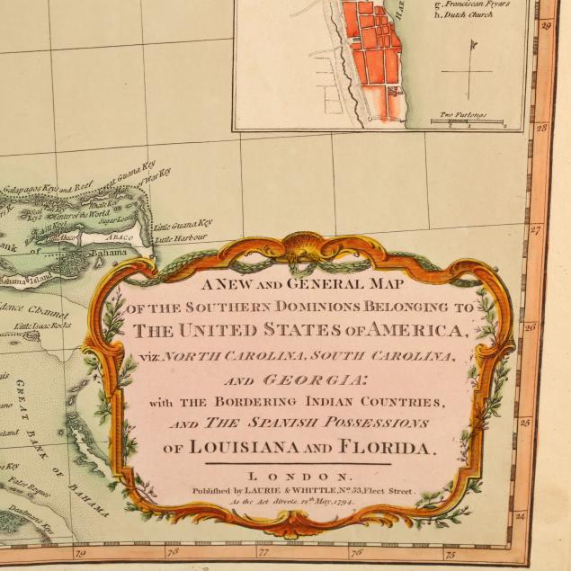
Late 18th Century Map of the Southeastern United States
Explore more items like this one.
Visit our Historical Department Historical
Lot Details & Additional Photographs
Plate 19.75 x 25.25 in.; Sheet 20.75 x 28.25 in.
From a private North Carolina collection
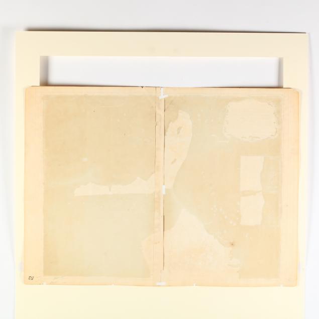
Overall light toning; two inch split from right edge; a 1.5 inch diagonal split from a one inch strip of loss along central fold above Florida keys; small amount of tape reinforcement en verso. Good condition.
$500 - 1,000


