Lot 774
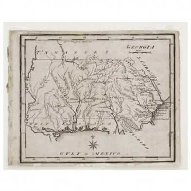
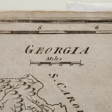
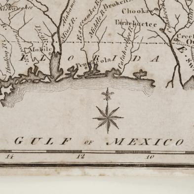
Late 18th Century American Map of Georgia Extending to Mississippi
Explore more items like this one.
Visit our Historical Department Historical
Lot Details & Additional Photographs
Plate 6.25 x 7.5 in.; 6.75 x 8.25 in.
From a private North Carolina collection
Some spotting and light age toning.


