Lot 770
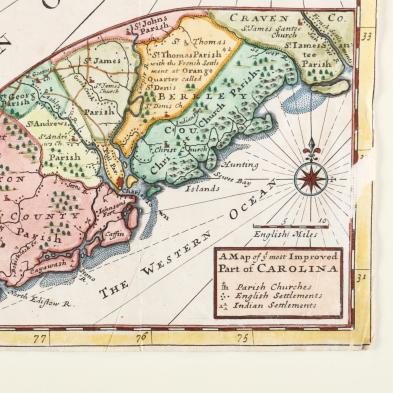
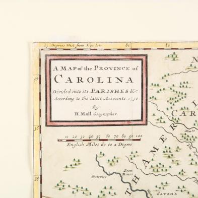
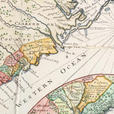
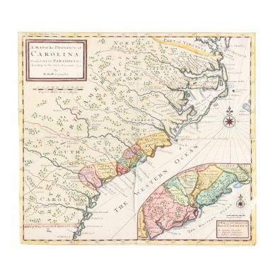
Moll, Herman. A Map of the Province of Carolina
Explore more items like this one.
Visit our Historical Department Historical
Lot Details & Additional Photographs
Sheet 14.25 x 15.5 in.
From a private North Carolina collection
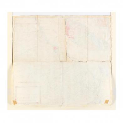
Splits along most of the folds outlining the lower right quadrant; trimmed to the plate leaving no margins.
