Lot 348
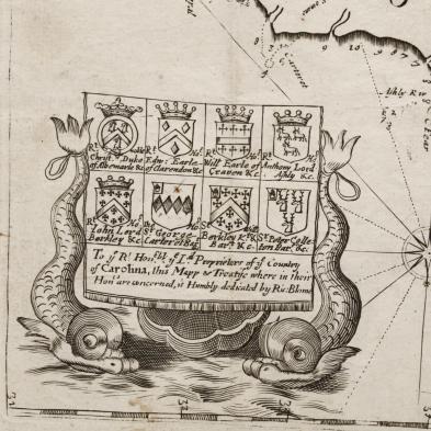
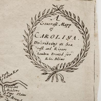
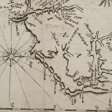
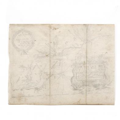
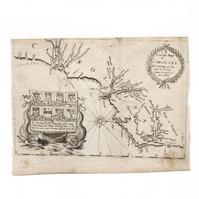
Blome, Richard. A Generall Mapp of Carolina...
Explore more items like this one.
Visit our Historical Department Historical
Lot Details & Additional Photographs
7 x 9 1/8 in.
A very rare map with no apparent auction records in recent decades.
Nearly full margins, yet closely trimmed; three vertical fold lines and some light stains.
