antebellum-maps-of-north-carolina-and-south-carolina
Lot 206

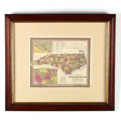
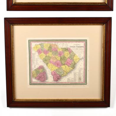
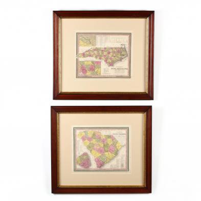
Antebellum Maps of North Carolina and South Carolina

Explore more items like this one.

Visit our Historical Department Historical
Lot Details & Additional Photographs
(Philadelphia: Augustus Mitchell, 1846-1847), the North Carolina map with inset maps of the Piedmont's "Gold Region" and New Bern; the South Carolina map with an inset plat of Charleston. Presented behind mats in matching wooden frames with gilt liner.

DOA 23 x 26 in.

Light aging; very good appearance; not examined out of the frames.