Lot 264
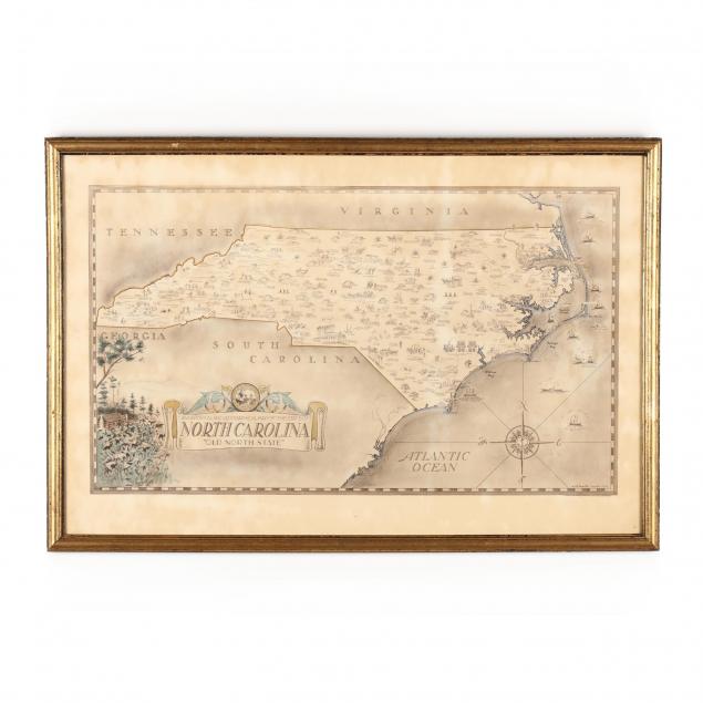
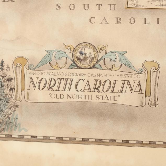
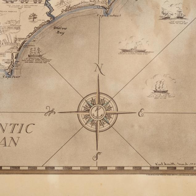
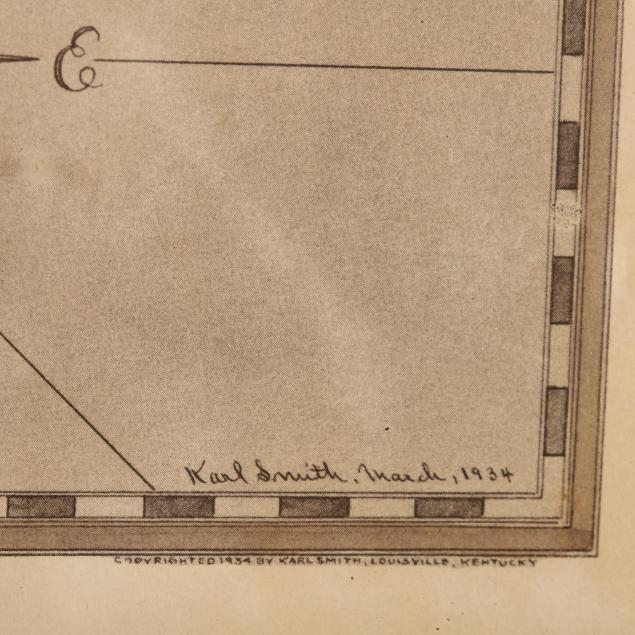
Vintage Self-Published Illustrated Map of North Carolina
Explore more items like this one.
Visit our Historical Department Historical
Lot Details & Additional Photographs
DOA 17.75 x 26.75 in.
From the Collection of the late Bragg Cox, Cary, North Carolina
Overall age toning; good estate condition.


