Lot 120
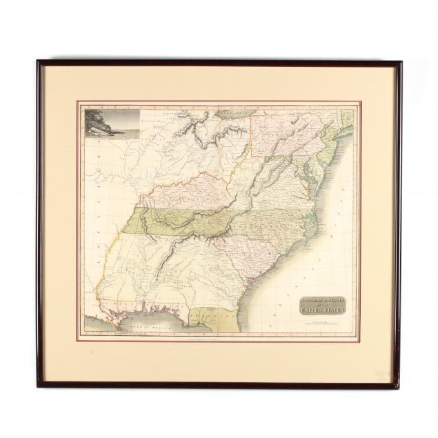
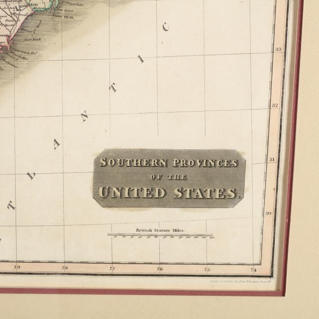
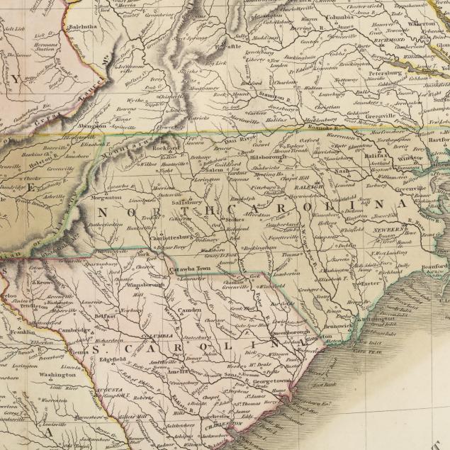
Map, Southern Provinces of the United States
Explore more items like this one.
Visit our Historical Department Historical
Lot Details & Additional Photographs
DOA 28 x 31 in.
Light age toning; central vertical fold from atlas; good estate condition.


