Lot 249
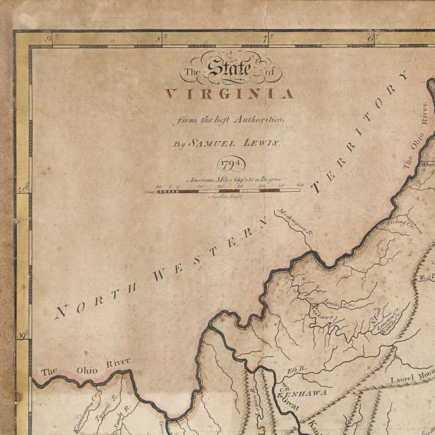
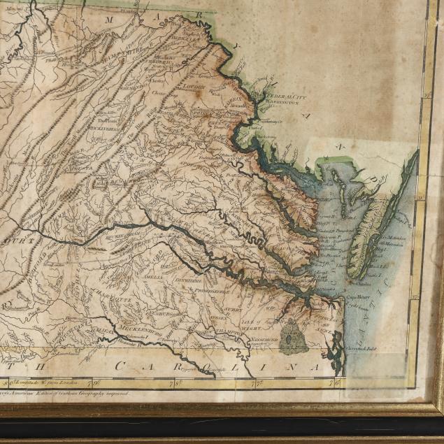
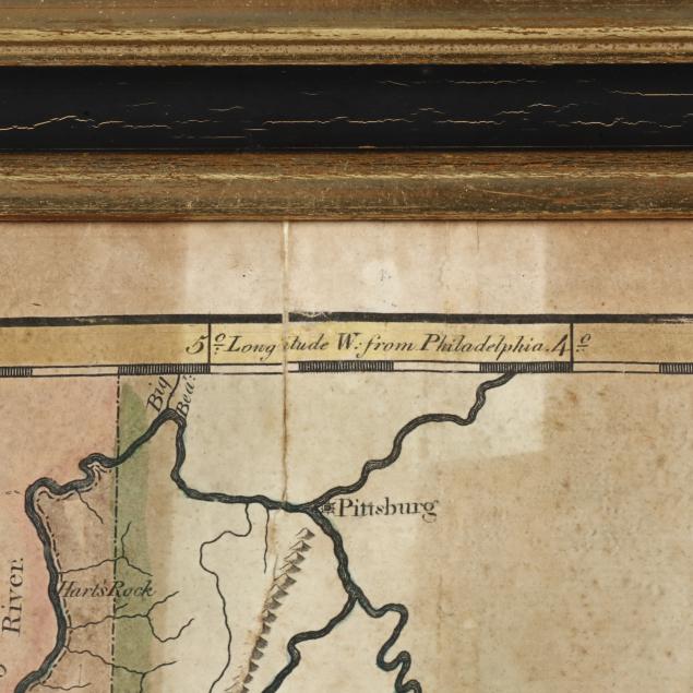
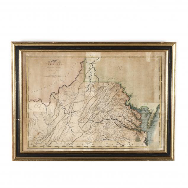
Map, The State of Virginia from the best Authorities by Samuel Lewis
Explore more items like this one.
Visit our Historical Department Historical
Lot Details & Additional Photographs
Sight size 14.75 x 20.5 in.; Frame dimensions 17.5 x 24 in.
Not laid down and properly framed; overall browning with moderate foxing, damp stain to right margin; presents well, but fair condition.
