17th-century-english-map-of-south-america
Lot 2054

17th Century English Map of South America

Explore more items like this one.

Visit our Historical Department Historical
Lot Details & Additional Photographs
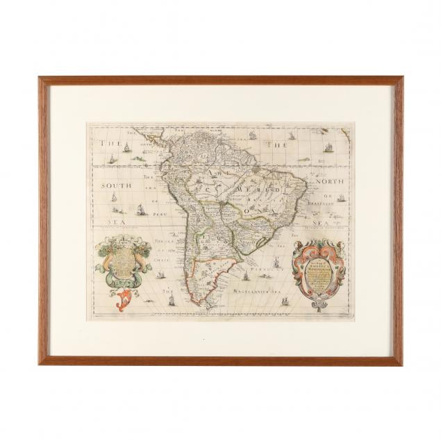
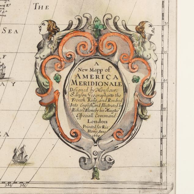
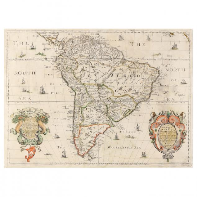
Richard Blome. A NEW MAPP OF AMERICA MERIDIONALE... London, 1669. Copperplate engraving, hand colored, showing the whole of South America divided into provinces and illustrated with a variety of imaginary animals, with surrounding seas identified and illustrated with ships and sea creatures, two cartouches in bright colors on either side with dedication on the left and identifying information and the statement "Designed by Monsieur Sanson Geographer to the French King" on the right; presented under mat and in wooden frame.

Image size 21 1/8 x 15 5/8 in.; frame dimensions 29 1/8 x 23 1/4 in.

Full margins, not laid down; light age toning, soiling, and offsetting; shallow fold creases with a small loss at center crease; light area of wear/soiling over the "T" at top right; not examined out of frame; a long but light scratch to glass; map in very good condition for its age.