Lot 2055
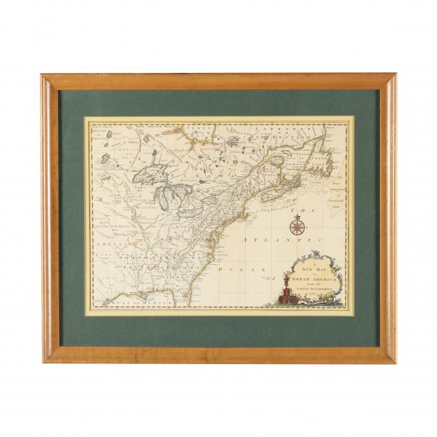
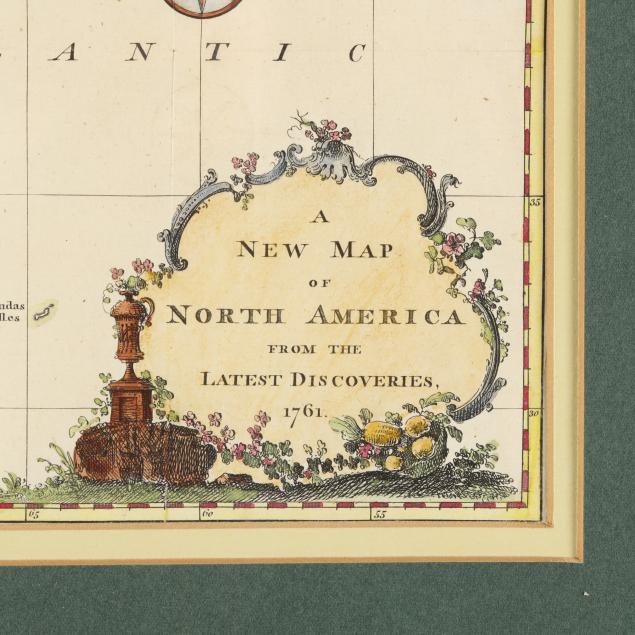
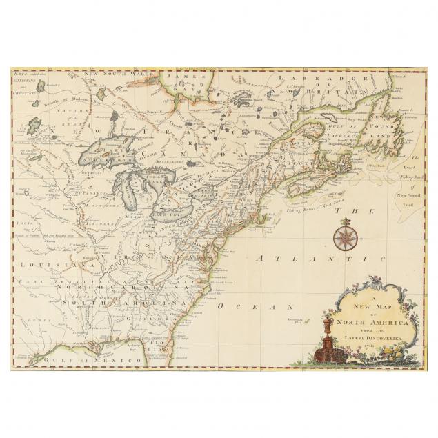
Map of the British Colonies in North America, 1761
Please sign in to bid.
Bidding has closed.
Explore more items like this one.
Visit our Historical Department Historical
Lot Details & Additional Photographs
Image size 10 3/4 x 14 3/4 in.; frame dimensions 16 3/4 x 20 1/2 in.
With (4) vertical fold creases, (1) horizontal fold crease, and additional shallow creases; (1) area of very minor soiling, (1) 1-in. tear on far right side, light toning; not examined out of frame; frame with light wear; good overall condition.
