thomson-s-early-19th-century-map-of-the-southern-united-states
Lot 6148

Thomson's Early 19th-Century Map of the Southern United States

Explore more items like this one.

Visit our Historical Department Historical
Lot Details & Additional Photographs
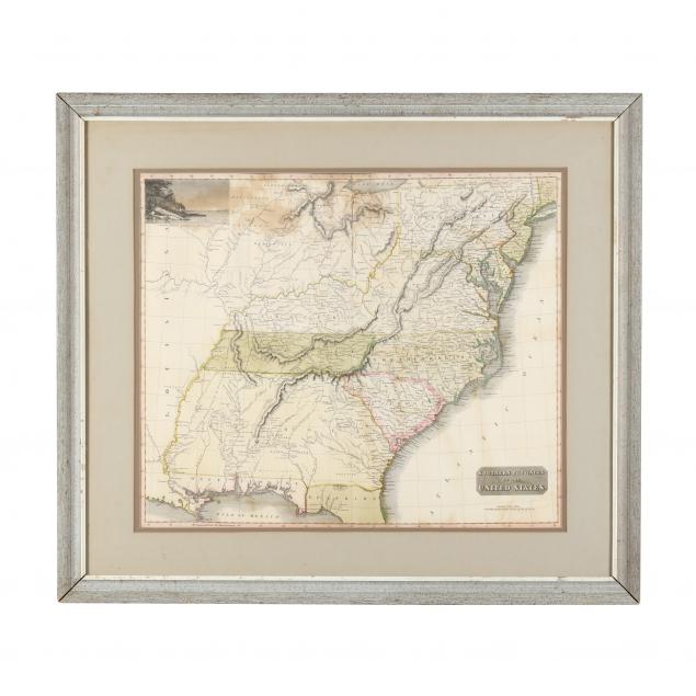
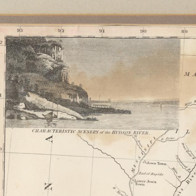
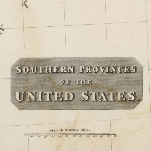
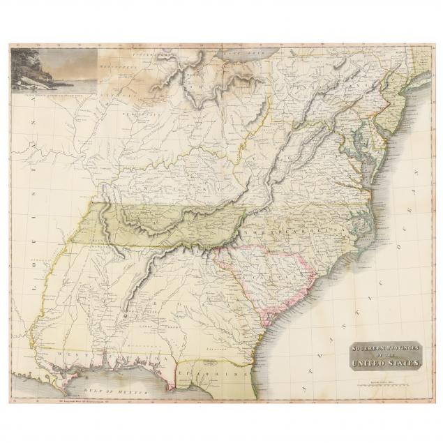
John Thomson; engraved by N. R. Hewitt. SOUTHERN PROVINCES OF THE UNITED STATES. Edinburgh, 1817. From Thomson's New General Atlas. Copperplate engraving, hand colored, presenting the United States including the area between Lake Erie and the Gulf of Mexico, with Louisiana on the far left; Tennessee spelled "Tenassee," with the 1795 Treaty of Greenville line and the division between West and East Florida depicted; "Characteristic Scenery of the Hudson River" in upper left, and title cartouche at lower right; behind glass, matted and in light grey and white frame.

Image 19 1/4 x 22 7/8 in.; frame dimensions 27 3/4 x 31 5/8 in.

From the Collection of Professor Roberto Severino, Washington, D.C.

Center vertical fold, with one area of small vertical and horizontal tears at the crease and (3) additional 1/2-in. tears, one with associated tiny loss; areas of light to heavy damp staining, scattered faint creases and foxing; heavily taped to matte; staining and chips to frame.