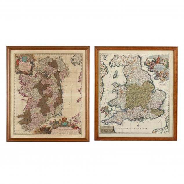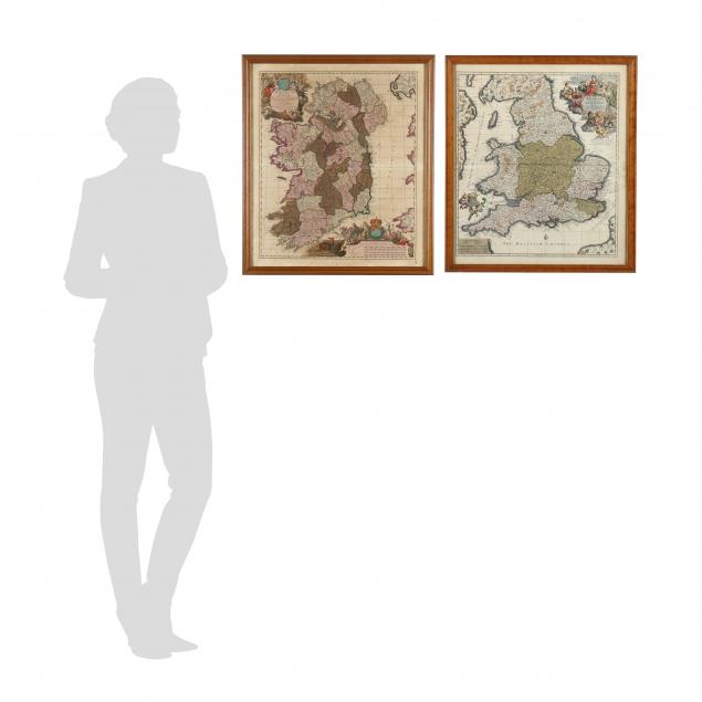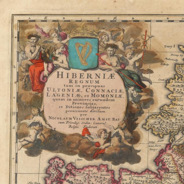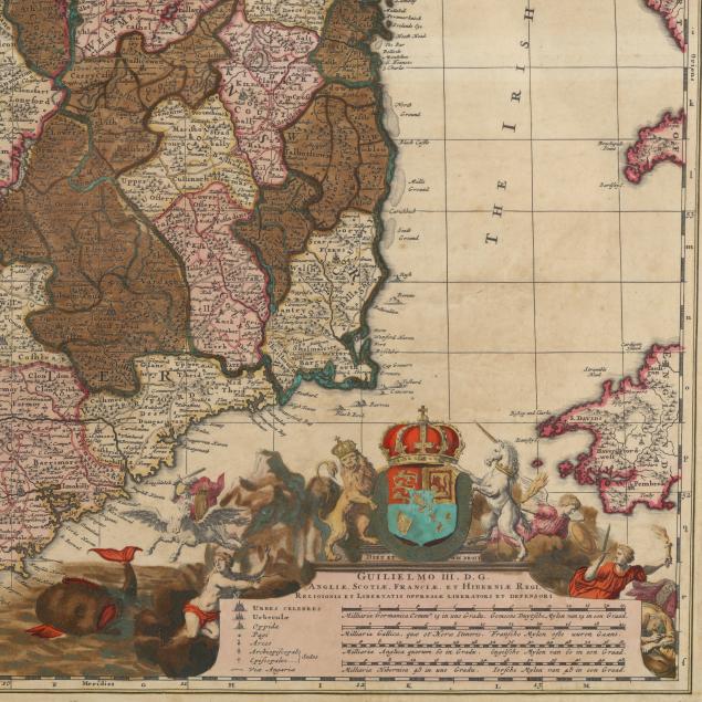
Lot 2173
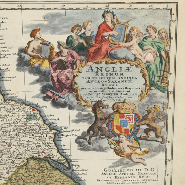
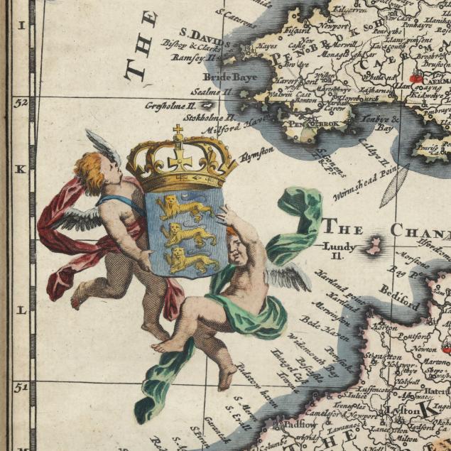
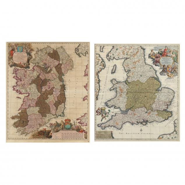
Nicholas Visscher II, Maps of England and Ireland
Lot Details & Additional Photographs
23 x 26 in.
Private Virginia Collection
From a private Virginia collection
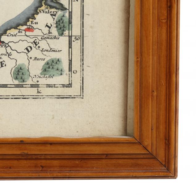
Both maps with age toning and bright colors; the map of England has a 2 inch tear on both edges of the fold, one of which extends into the Irish Sea. Professionally mounted without being laid to a board; overall very good condition.