Lot 2174
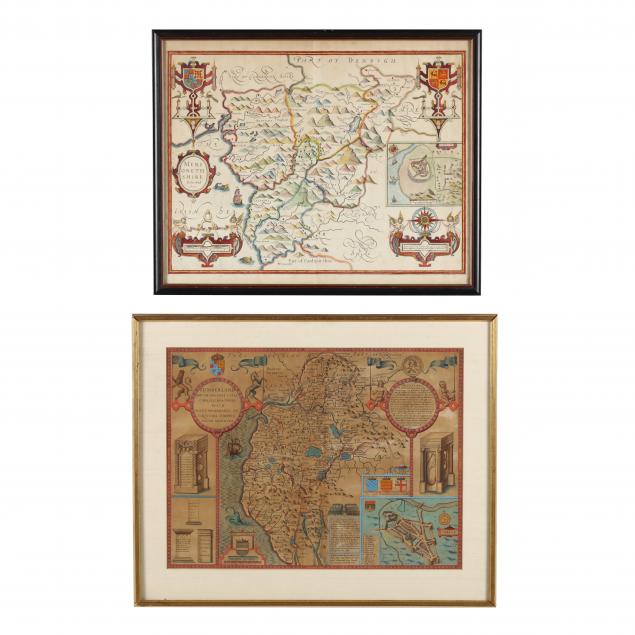
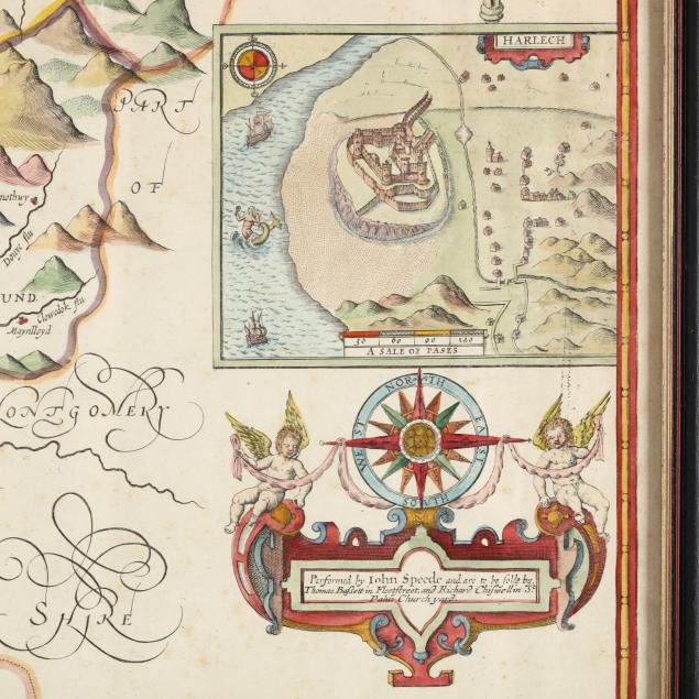
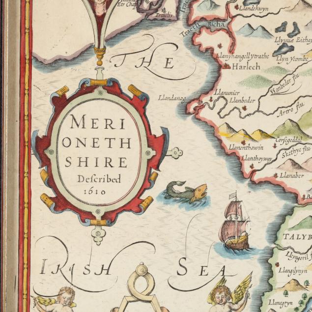
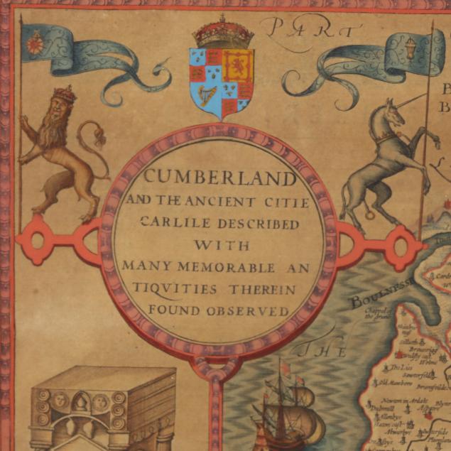
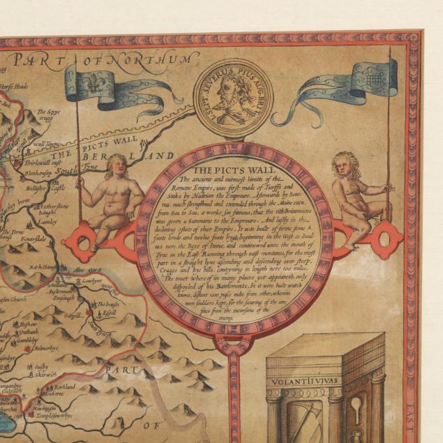
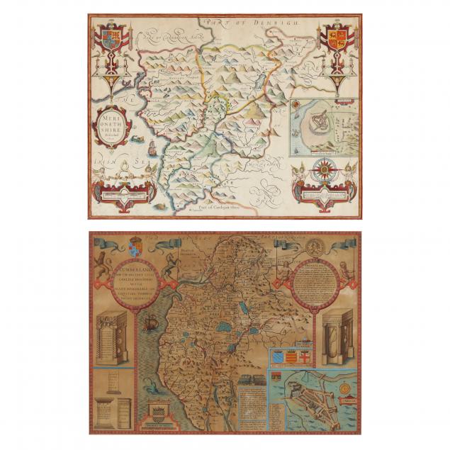
Two 17th Century Regional Maps by John Speed
Explore more items like this one.
Visit our Historical Department Historical
Lot Details & Additional Photographs
Cumberland framed 20-1/4 x 24-3/4 in.; Merionethshire framed 18 x 22-1/8 in.
Private Virginia Collection
The Merionethshire has light age toning and traces of foxing; the Cumberland map is darkly toned.