Lot 2165

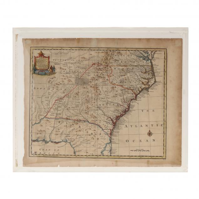
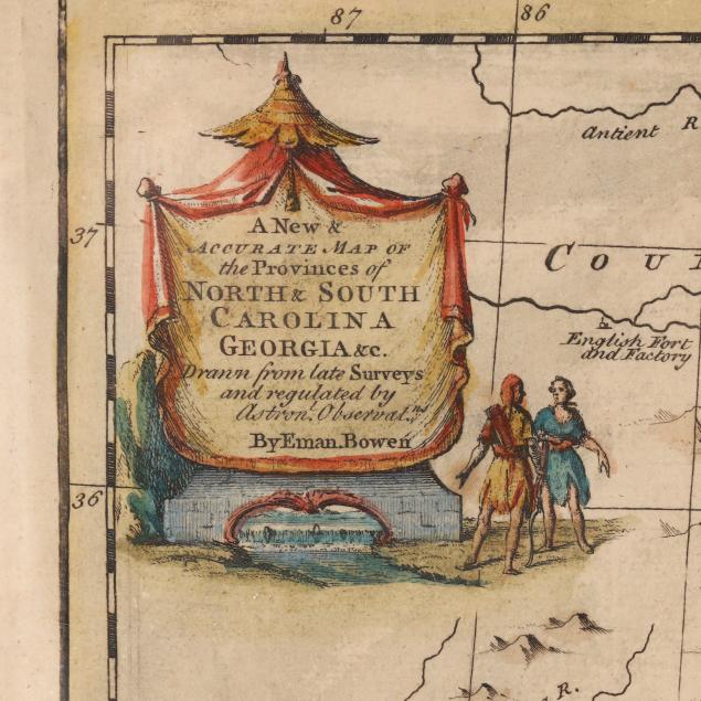
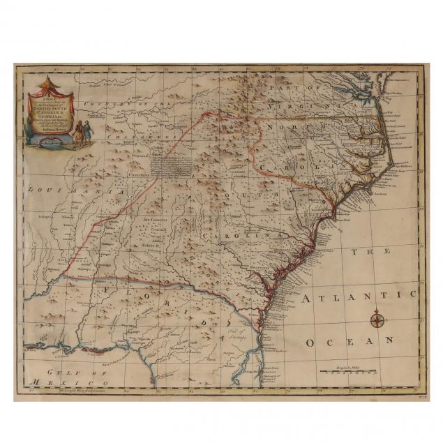
Emanuel Bowen (English, 1697-1767), Map of the American Southeast
Sold $850
Please sign in to bid.
Bidding has closed.
Explore more items like this one.
Visit our Historical Department Historical
Lot Details & Additional Photographs
Plate size 14-1/4 x 17-1/2 in.
Private North Carolina collection
The map consists of two sheets fitted together and is not printed on the back.
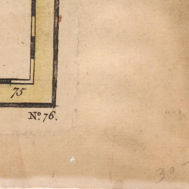
Overall age toning; some minor chipping to edges; retains good color. Very good condition.