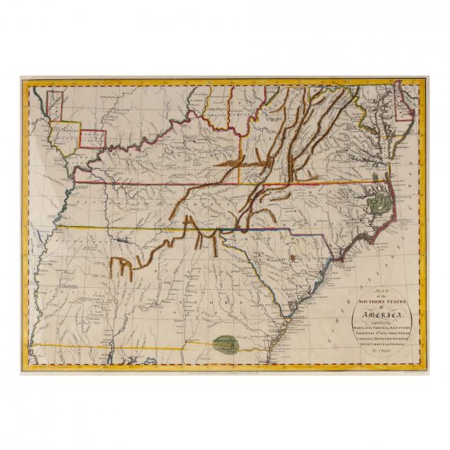
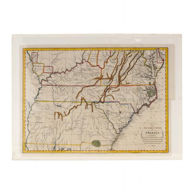
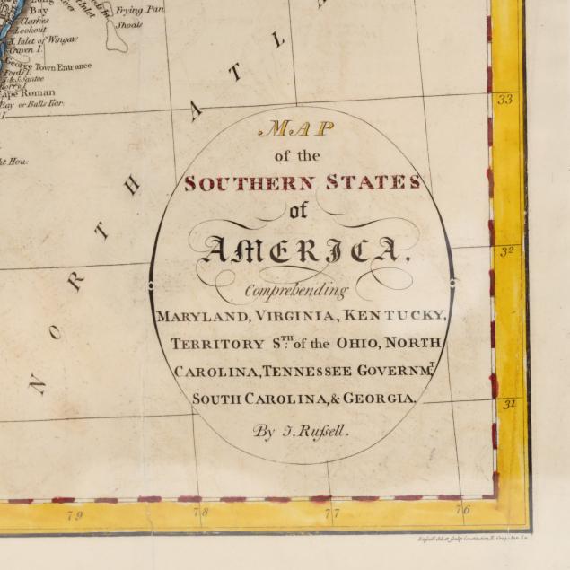
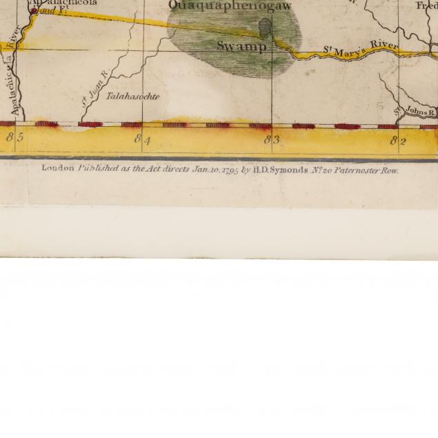
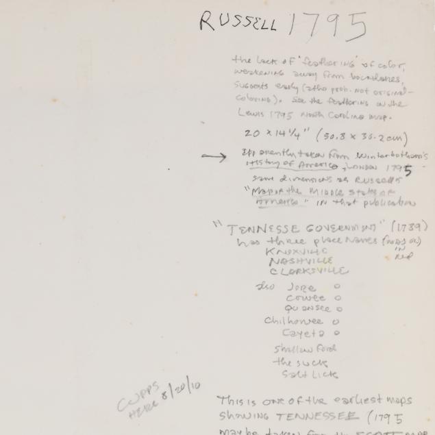
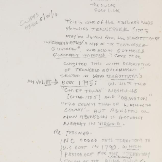
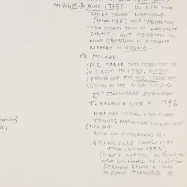
English Cartographer John Russell's Map of the American South
Lot Details & Additional Photographs
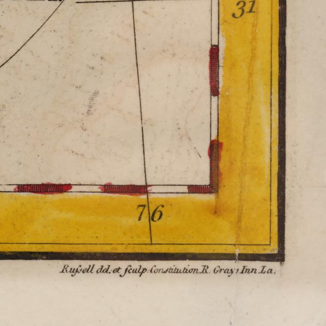
(London, circa 1795) titled Map of the Southern States of America, Comprehending Maryland, Virginia, Kentucky, Territory Sth of the Ohio, North Carolina, Tennessee Governm't, South Carolina, & Georgia., being a copperplate engraving with outline hand color delineating boundaries and mountain ranges.