Lot 2167
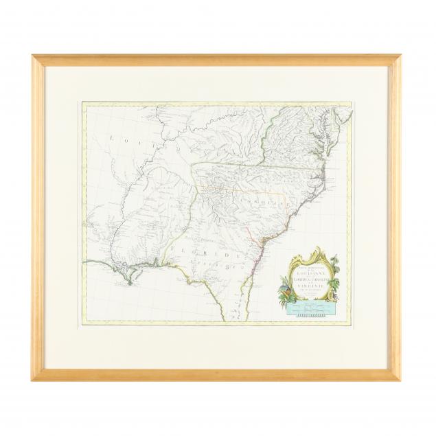
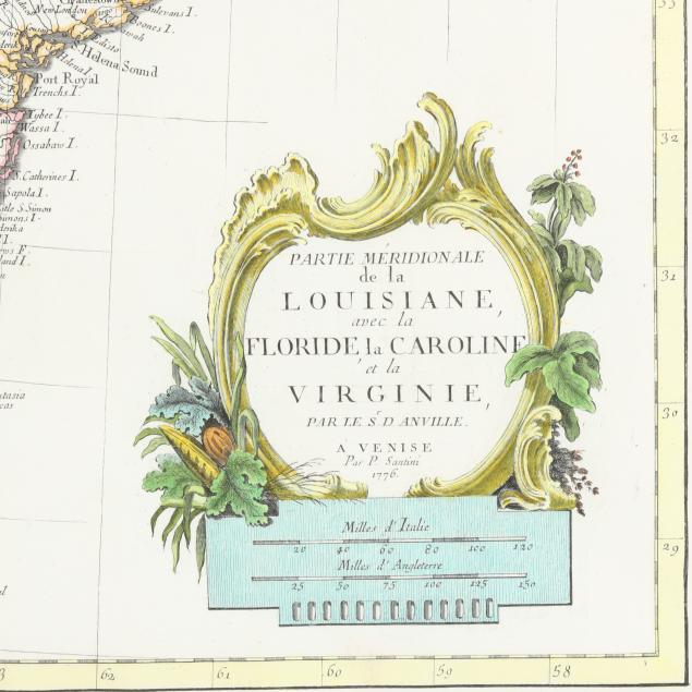
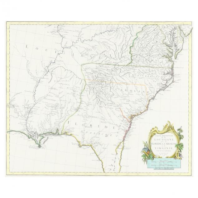
Paul D'Anville's 18th Century Map Showing the American South
Explore more items like this one.
Visit our Historical Department Historical
Lot Details & Additional Photographs
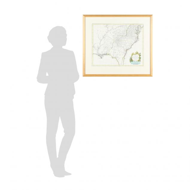
Sight size 23 x 19-1/4 in.; Frame dimensions 27-3/4 x 31-1/4 in.
Private North Carolina collection
A clean and attractive map; professionally mounted and not laid down; overall very fine condition.
