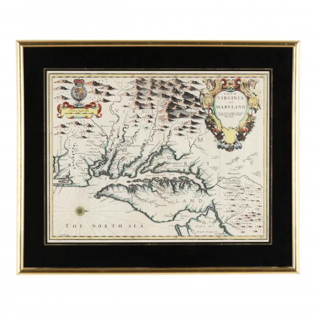
Lot 2162
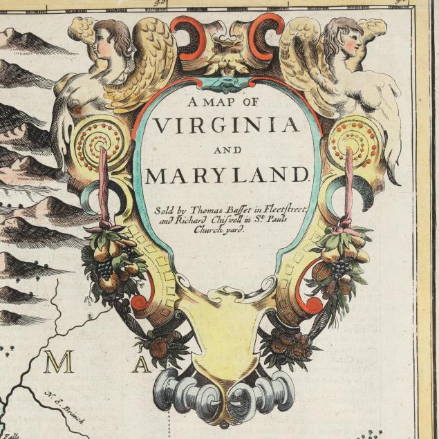
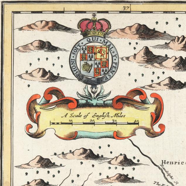
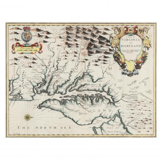
John Speed's 1676 Map of Virginia and Maryland
Explore more items like this one.
Visit our Historical Department Historical
Lot Details & Additional Photographs
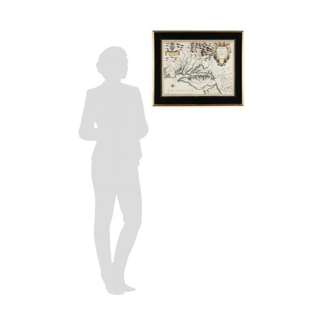
Sight size 20 x 15-1/2 in.
Private North Carolina collection
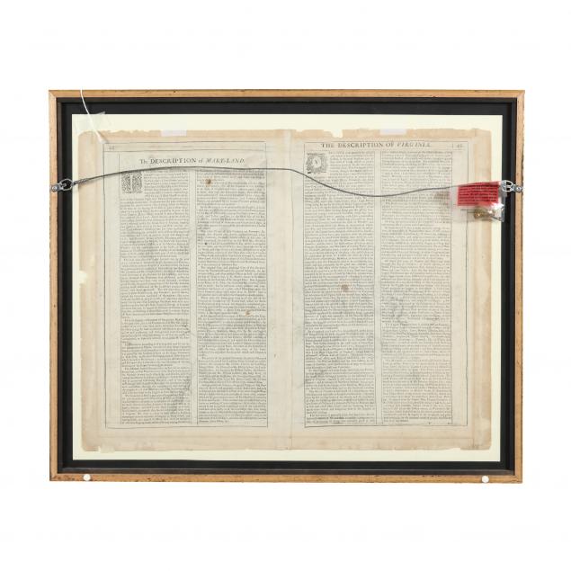
The front is very clean and presents well; the verso with roughness to the edges; overall very good condition.