Lot 2171
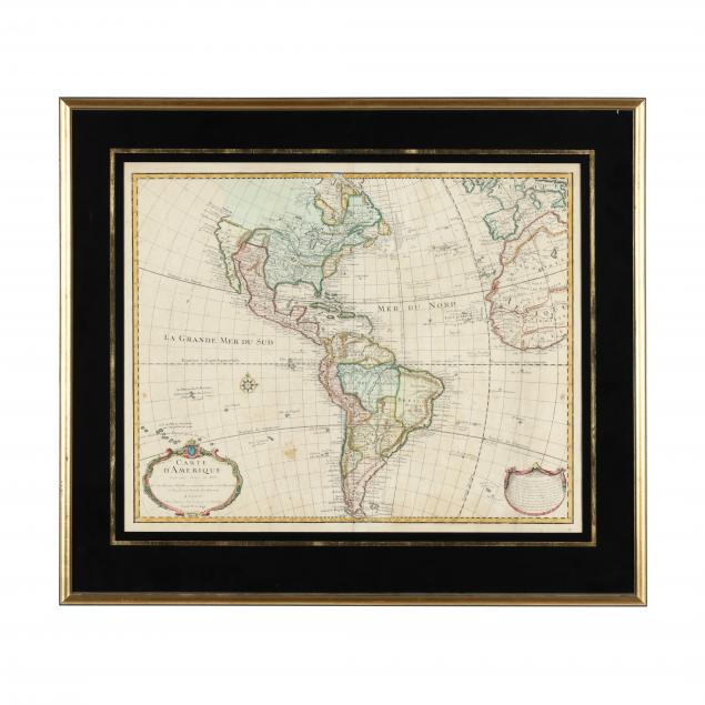
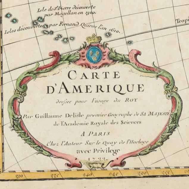
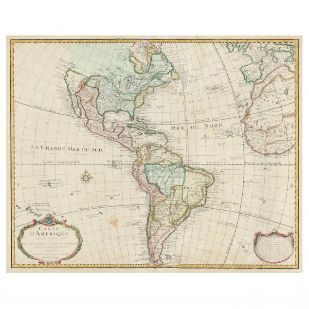
Guillaume De L'Isle's 18th-Century Map of the Americas
Lot Details & Additional Photographs
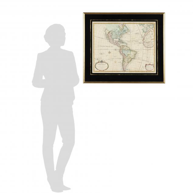
Plate size 19 1/2 x 24 1/2 in.; frame dimensions 27 7/8 x 32 1/4 in.
Private North Carolina collection
This important map of the Americas was republished numerous times between 1722 and 1830. It offers significant updates, corrections, and information about geographical understanding in the 18th-century. California is depicted as a peninsula, Texas is named (Tecas), and with De L'Isle as geographer to the king of France, the map emphasizes French territories.
Overall good estate condition; with light toning, several small stains, scattered foxing, and various creases; small split at lower centerfold, and (2) small areas of possible repair; light wear to matte and frame; not laid down; not examined fully out of frame.