Lot 1264
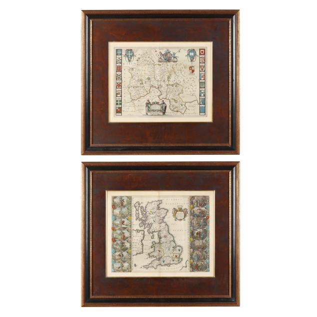
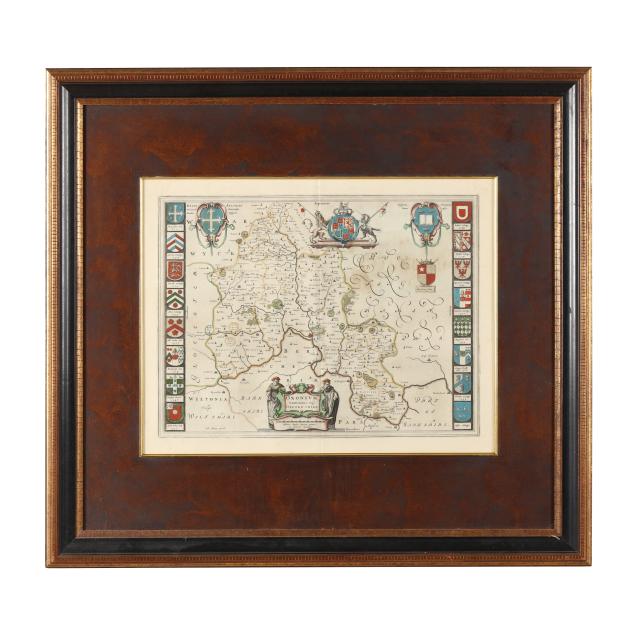
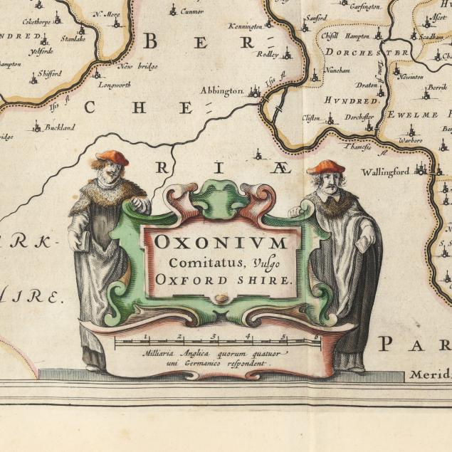
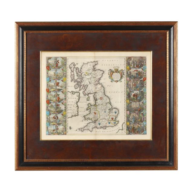
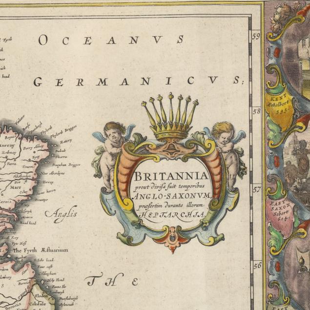
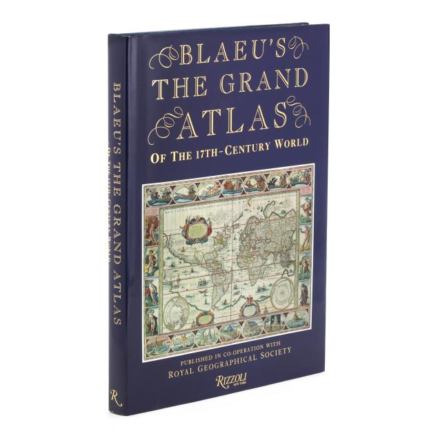
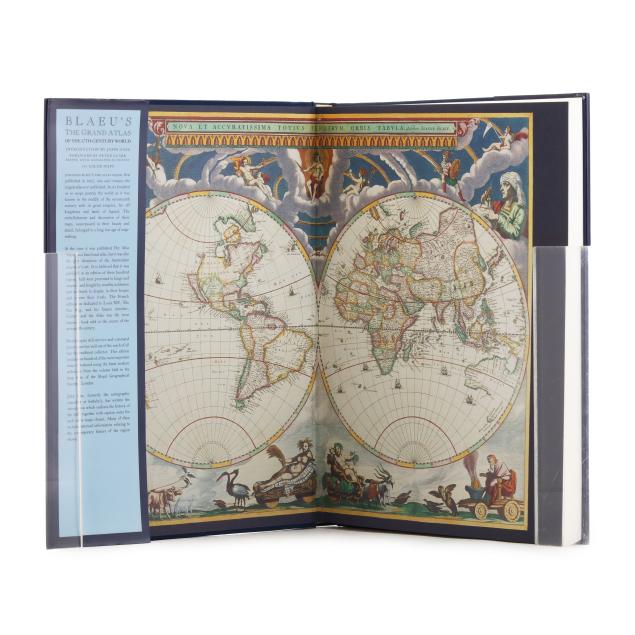
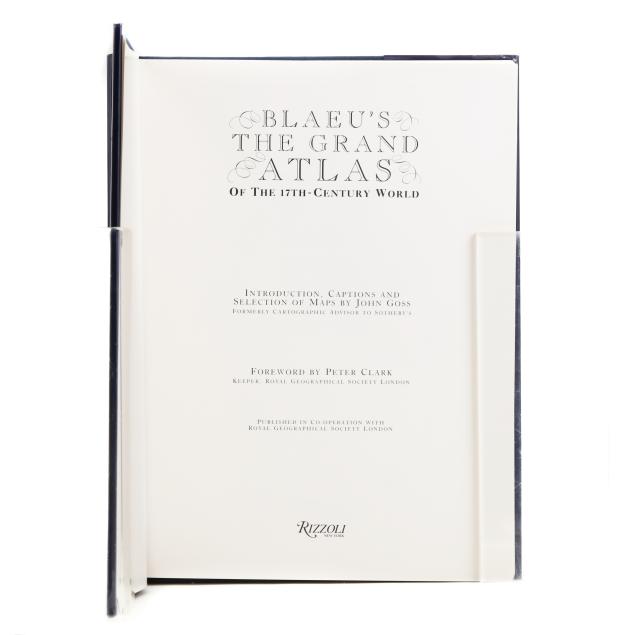
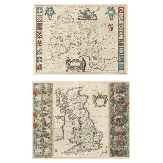
Two Willem Blaeu Maps of British Interest with an Explanatory Book
Explore more items like this one.
Visit our Historical Department Historical
Lot Details & Additional Photographs
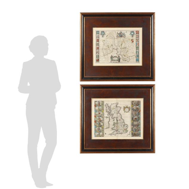
Frames 33-3/4 wide x 31 in. high.; map sight sizes 18 x 22-1/2 in. (Great Britain), 17 x 21-12 in. (Oxfordshire)
From the Collection of a Southern Gentleman, Atlanta, Georgia
Light creme toning, sheets with full margins; fold lines visible; overall very good condition.