Lot 5070
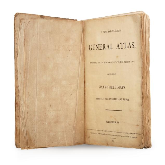
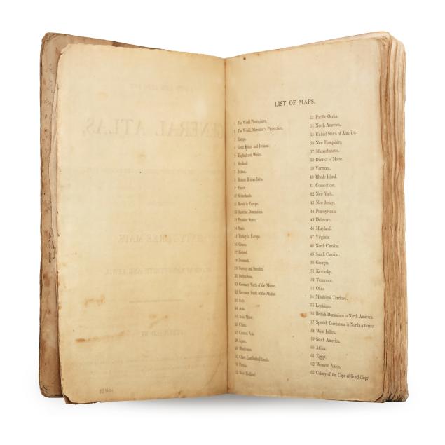
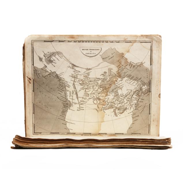
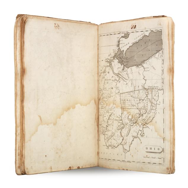
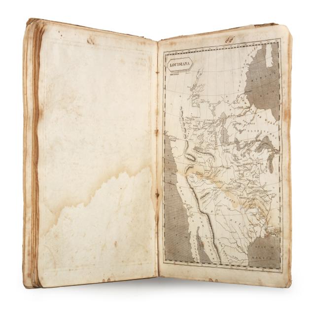
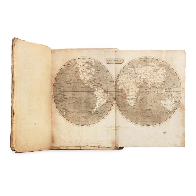
First Edition of Arrowsmith and Lewis's A New and Elegant General Atlas
Explore more items like this one.
Visit our Historical Department Historical
Lot Details & Additional Photographs
11 1/8 x 8 3/4 in.
Contains one of the earliest maps of Ohio which became a state in March 1803, as well as significant maps of the western United States coinciding with the start of the Lewis & Clark Expedition (1804-1806).
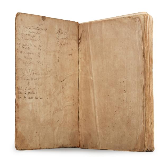
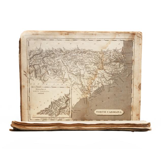
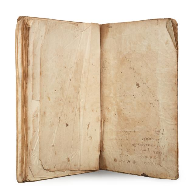
Boards extremely worn and with most of backstrip lost, with pages and maps loose in boards; endpapers with wear, folds, and writing; interior with foxing and light to moderate toning throughout, with occasional small tear, chipped edge, corner fold, minor grime, or small ink stain at margins; heavy damp staining throughout; maps complete and intact with few tears (and none impacting image), each numbered in ink at upper margin. An important atlas deserving of preservation.