Lot 1173
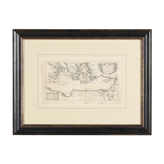
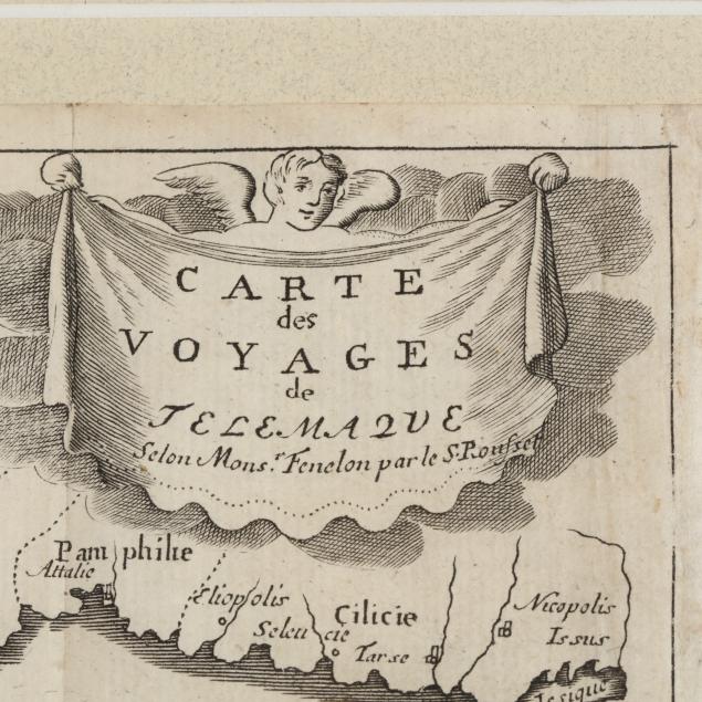
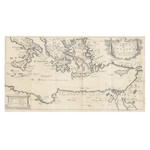
18th-Century Map Presenting the Travels of Telemachus
Lot Details & Additional Photographs
Image size 5 1/2 x 10 5/8 in.; DOA 15 1/2 x 20 3/8 in.
From the Collection of the late Michael Joyce and Archie Carter III, Greensboro, North Carolina
Proceeds to Benefit Greensboro Urban Ministry
With folds, as issued; edges and margins with small losses/insect damage, tears, fraying, and browning; a few minor spots of foxing; light wear to frame; not examined out of frame.