Lot 1116
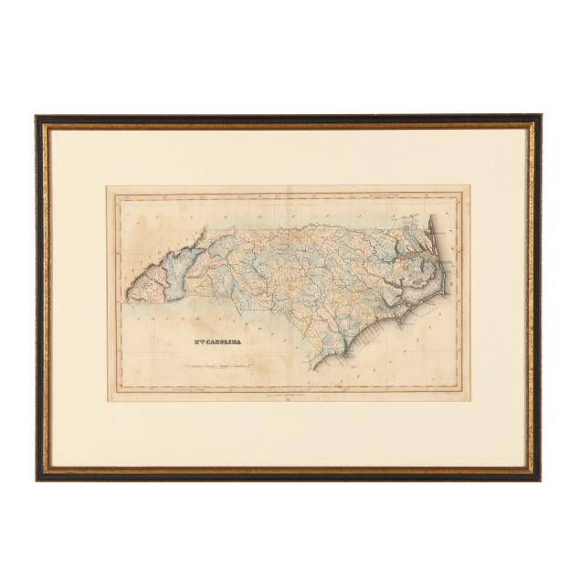
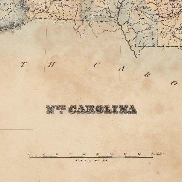
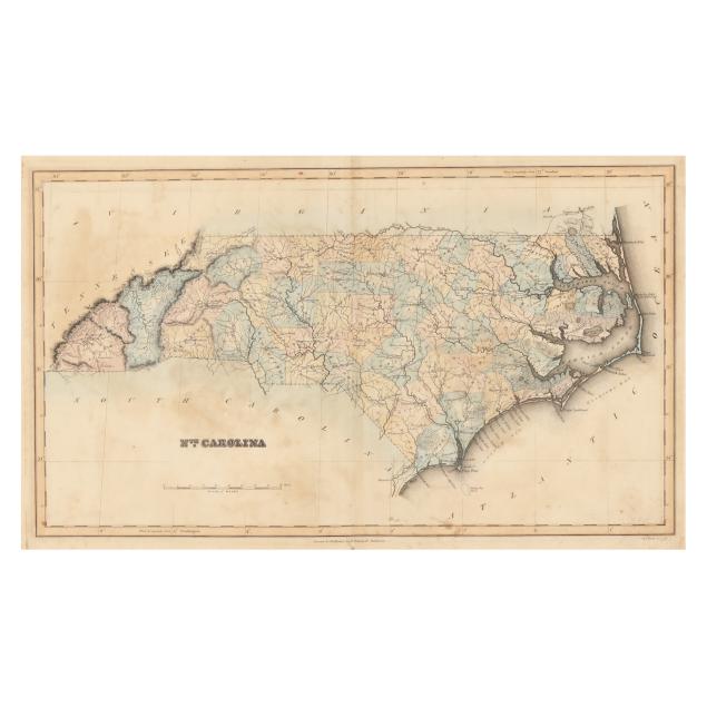
Fielding Lucas, Jr. (1781-1854), Map of North Carolina
Explore more items like this one.
Visit our Historical Department Historical
Lot Details & Additional Photographs
Image size 11 x 19 in.; DOA 20 1/4 x 28 in.
Lucas, an important cartographer based in Baltimore, Maryland, was known for publishing several atlases in the early 19th century with high-quality, hand-colored maps.
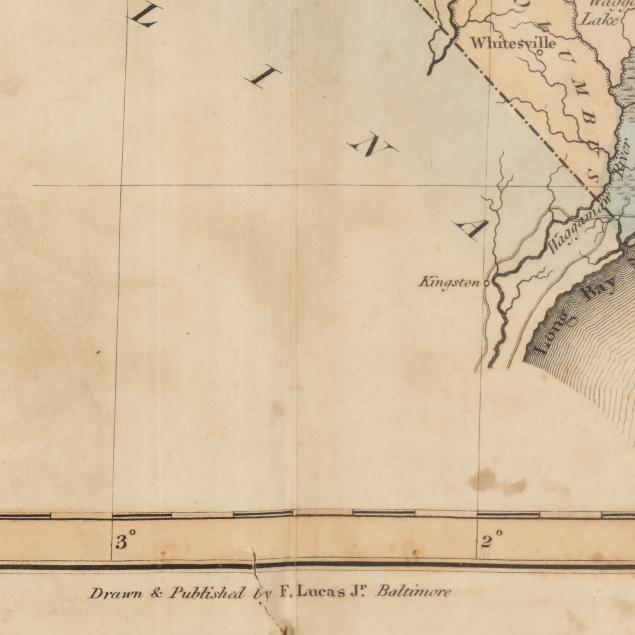
Vertical central fold as issued, with an additional vertical fold and subtle crease; map with toning and spotting, typical offsetting, light scattered foxing, a few small damp stains, and areas of grime (concentrated in lower right corner); a 5/8-in. tear at the lower edge through "by" in "Drawn and Published by F. Lucas Jr. Baltimore"; minimal wear to frame; not examined out of frame.
