john-reid-s-important-late-18th-century-map-of-north-carolina
Lot 1115
John Reid's Important Late 18th-Century Map of North Carolina
Lot Details & Additional Photographs
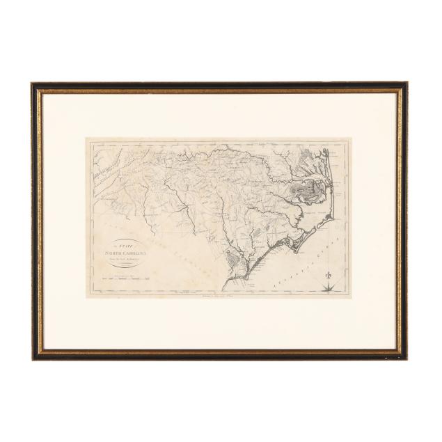
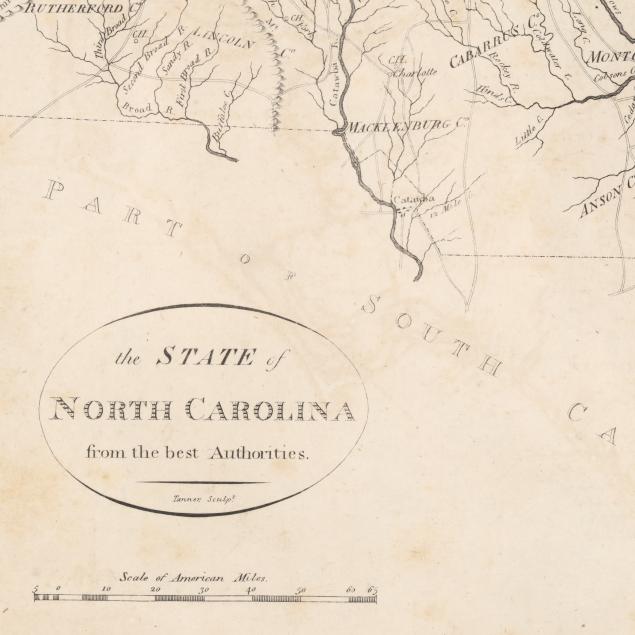
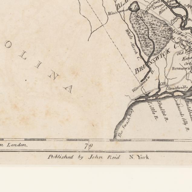
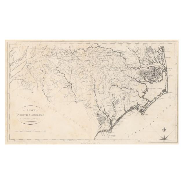
John Reid. THE STATE OF NORTH CAROLINA FROM THE BEST AUTHORITIES. New York, 1796. Engraving by Benjamin Tanner for John Reid's American Atlas, not colored, presenting towns, rivers, swamps such as the "Great Alligator dismal Swamp," mountain ranges, and other areas of interest in the state, with counties named but not delineated; presented matted, under glass, and in gilt and black wooden frame.

Image size 11 1/8 x 18 1/2 in.; DOA 20 x 27 in.

Map with central fold as issued; lightly toned with scattered foxing, one minor damp stain, offsetting, and impressions of lettering on verso; mat with scattered foxing; frame with light wear including small chips; not examined out of frame.