mid-20th-century-map-of-north-america-after-an-18th-century-original
Lot 1118
Mid-20th-Century Map of North America After an 18th-Century Original
Lot Details & Additional Photographs
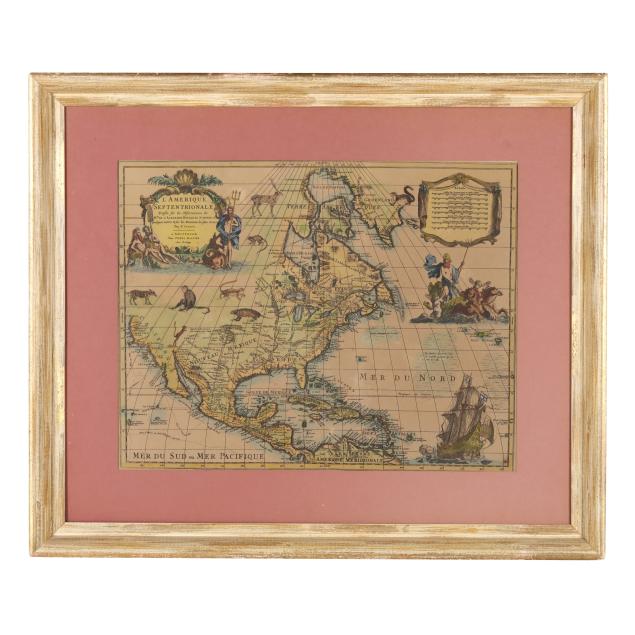
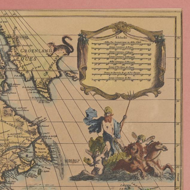
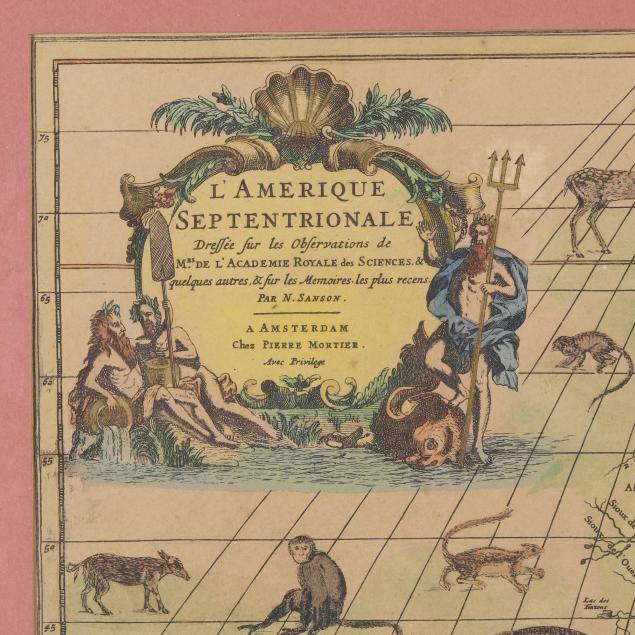
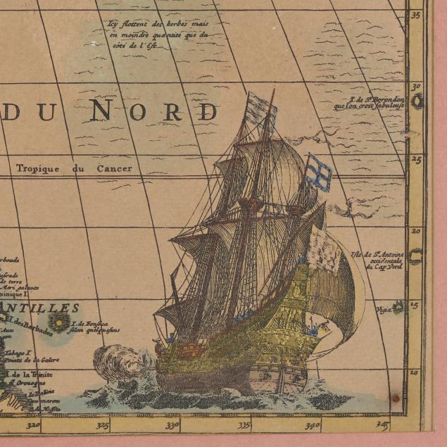
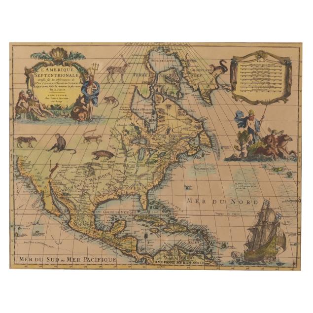
Being a copy after the following ascribed to Nicolas Sanson; after Guillaume de L'Isle. L'AMERIQUE SEPTENTRIONALE DRESSÉE SUR LES OBSERVATIONS DE MRS. DE L'ACADEMIE ROYALE DES SCIENCES. & QUELQUES AUTRES, & SUR LES MEMOIRES. LES PLUS RECENS. PAR N. SANSON. Amsterdam: Chez Pierre Mortier, [ca. 1710]. Hand-colored map printed on a brown field; of North America from Baffin Bay down to northern South America; featuring a title cartouche in the upper left corner with figures including Poseidon, a scale cartouche in the upper right corner, the routes of Cortez, Mendana, and others, and later additions of animals, a ship, and mythological figures with horses; from Mortier's Atlas Nouveau de diverses cartes choisies...; presented matted, under plexiglass, and in wooden frame with gilt.

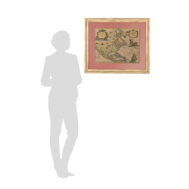
Image size 15 1/2 x 19 3/4 in.; DOA 24 1/4 x 28 3/4 in.

Private Collection, Durham, North Carolina

This map highlights the understanding of North America's geography in the early 1700s. For just two examples, the Southeast is labeled generally as "Floride"; California is marked starting only at Mendocino in the north, and while it is depicted as a peninsula instead of an island, it does not connect to Mexico.

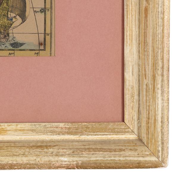
Laid down to a later sheet with overlying hand coloring; with a central fold and an additional subtle vertical crease, a rare spot of foxing, and a few minor marks and areas of imperfection; with later hand coloring; very light debris caught between mat and glass, frame with negligible wear.