henricus-hondius-s-map-of-the-chesapeake-region
Lot 1117

Henricus Hondius's Map of the Chesapeake Region

Explore more items like this one.

Visit our Historical Department Historical
Lot Details & Additional Photographs
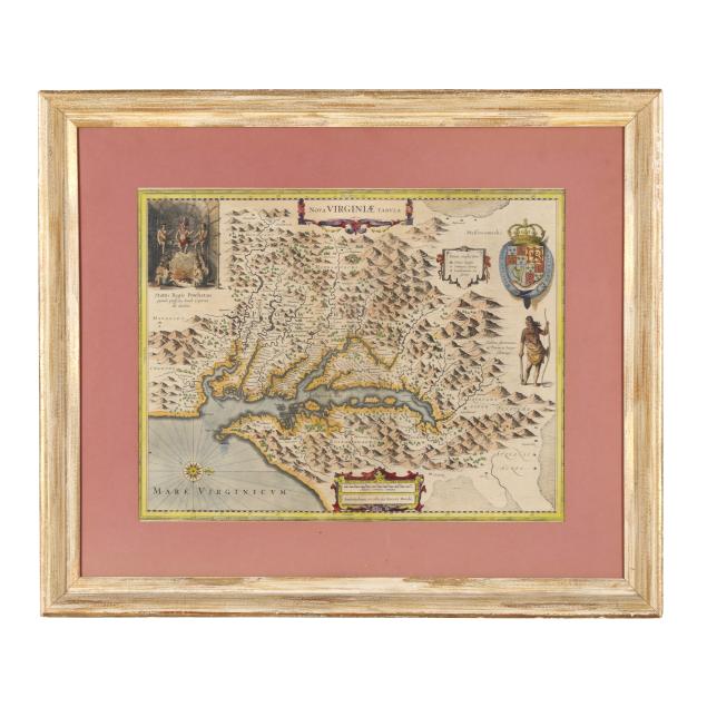
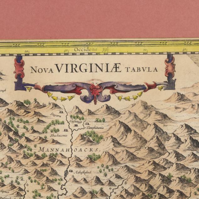
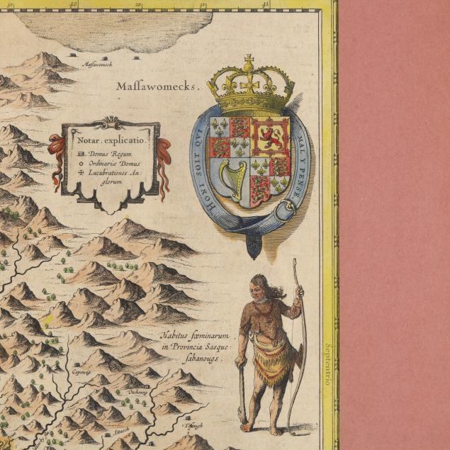
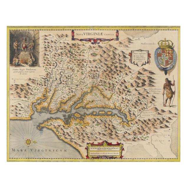
Henricus Hondius. NOVA VIRGINIAE TABULA. Amsterdam: ex officina Henrici Hondii, [ca. 1630s]. Hand-colored copperplate engraving, after John Smith's map of Virginia from 1612, with imprint below scale cartouche at bottom center, title at the top, a coat of arms with a crown on the far right above a figure of a Native American holding a bow and next to a small cartouche with "Notar. explicatio," and a vignette with Powhatan's lodge in the upper left corner; from Mercator and Hondius's L'Appendice de l'Atlas; presented matted, behind plexiglass, and in a wooden frame with gilt. Tooley, derivative 5, p. 165.

Image size 15 x 19 1/4 in.; DOA 23 3/4 x 28 in.

Private Collection, Durham, North Carolina

Very good condition; map with central fold as issued and one additional subtle vertical crease, with some areas of toning (mostly along the top), one small mark at lower left, and some edge chipping; laid down; minor debris caught between mat and glass; mostly light wear to frame with a more moderate area of scraping on the left section; not examined fully outside the frame.