Lot Details & Additional Photographs
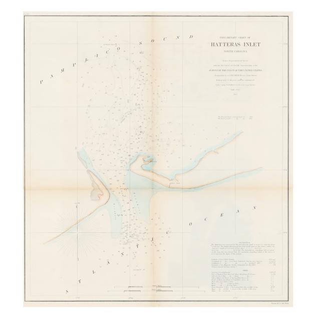
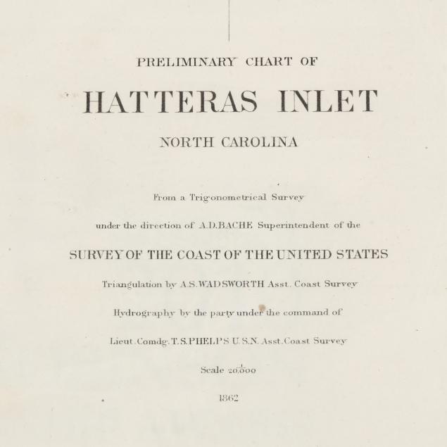
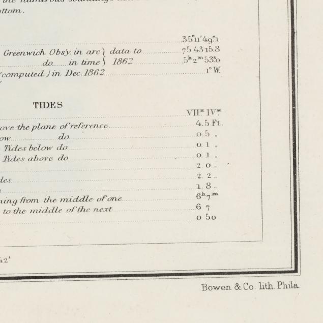
U.S. Coast Survey. PRELIMINARY CHART OF HATTERAS INLET NORTH CAROLINA. [Washington]: U.S. Coast Survey, 1862. Presenting the area between Pamlico Sound and the Atlantic Ocean, marked with both Fort Hatteras and Fort Clark. Map no. 23 from
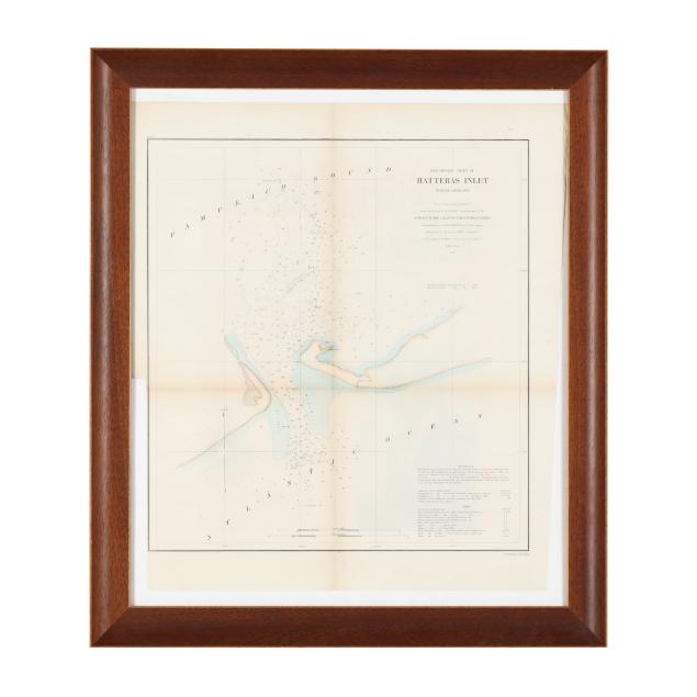
Report of the Superintendent of the Coast Survey, Showing the Progress of the Survey During the Year 1862 (Washington: Government Printing Office, 1864), with no. 23 in the upper left corner, stamped "23" on verso; lithograph by Bowen & Co., Philadelphia, with later color added; from a survey under the direction of A.D. Bache, triangulation executed in 1851 by A.S. Wadsworth, and hydrography executed in 1861 under the command of T. S. Phelps; displayed in a wooden frame.
DOA 23 1/8 x 20 in.; Image size 16 x 14 3/4 in.
One horizontal and (2) vertical folds, as issued; with toning concentrated at folds; tiny loss at central fold, a few creases and closed tears along the edges, a couple of minor spots, and light grime at upper margin; unevenly trimmed; later backing added for preservation.
