mitchell-s-mid-19th-century-map-of-north-carolina
Lot 1239

Mitchell's Mid-19th-Century Map of North Carolina

Explore more items like this one.

Visit our Historical Department Historical
Lot Details & Additional Photographs
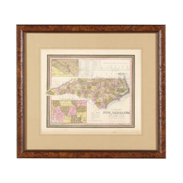
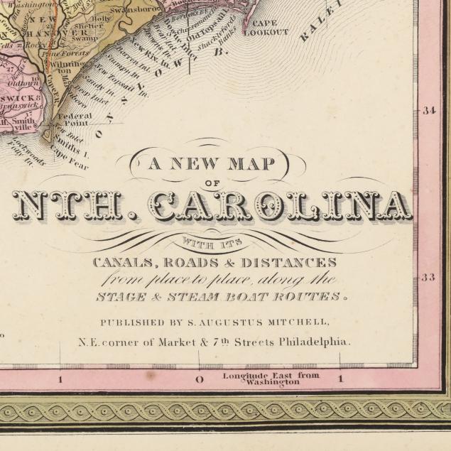
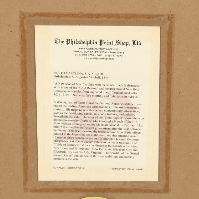
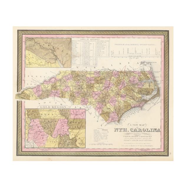
S[amuel] Augustus Mitchell. A NEW MAP OF NTH. CAROLINA WITH ITS CANALS, ROADS AND DISTANCES FROM PLACE TO PLACE, ALONG THE STAGE & STEAM BOAT ROUTES. Philadelphia: S. Augustus Mitchell, [1849]. With hand-coloring by county and a few areas of later color outlining added; inset map of the area around New Bern and the Neuse River with map of the "Gold Region" below; table of distances and "Profile of the Dismal Swamp Canal" at the top; presented matted and in a wooden frame; with documents on verso.

DOA 21 1/4 x 23 1/2 in.; image size 11 1/2 x 14 in.

Light spotting to map; margins with toning, light spotting and grime, and a couple of minor dents and a small area of imperfection; not examined out of frame.