Lot 4026
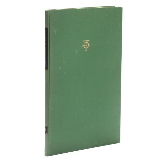
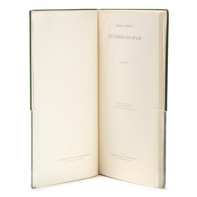
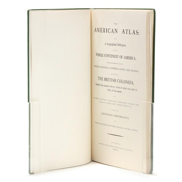
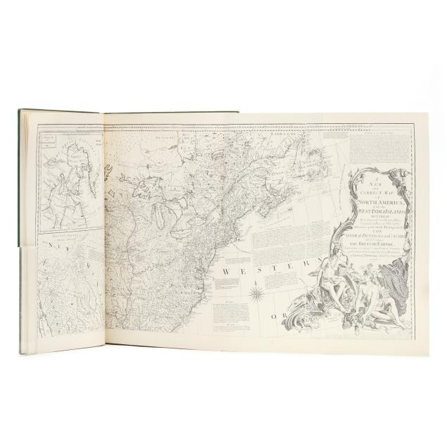
Facsimile of Jefferys's Important Revolution-Era American Atlas
Explore more items like this one.
Visit our Historical Department Historical
Lot Details & Additional Photographs
22 3/4 x 14 3/4 in.
From the Estate of Charles E. and Mary Fraser, Hilton Head Island, South Carolina
Thomas Jefferys (England, ca. 1719-1771) was a cartographer, engraver, and official Geographer for the royal family. The American Atlas, which was published posthumously by Robert Sayer and John Bennet, was one of the most important and frequently used atlases of the American Revolution.
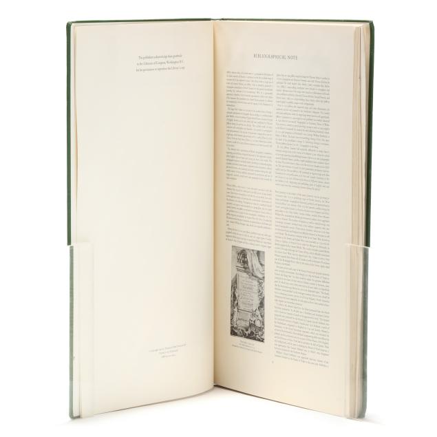
Boards with scuffing and staining, rubbed and bumped corners, light wear at spine ends, and soiling on lower board; minor tears at front and back hinges and slight separation from text block at head; some soiling on edges and endpapers; maps mostly pristine with just a couple that are poorly folded, lightly creased, or with occasional edge wear, and one with minor tear at binding point not impacting map.