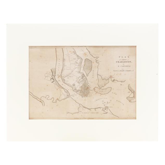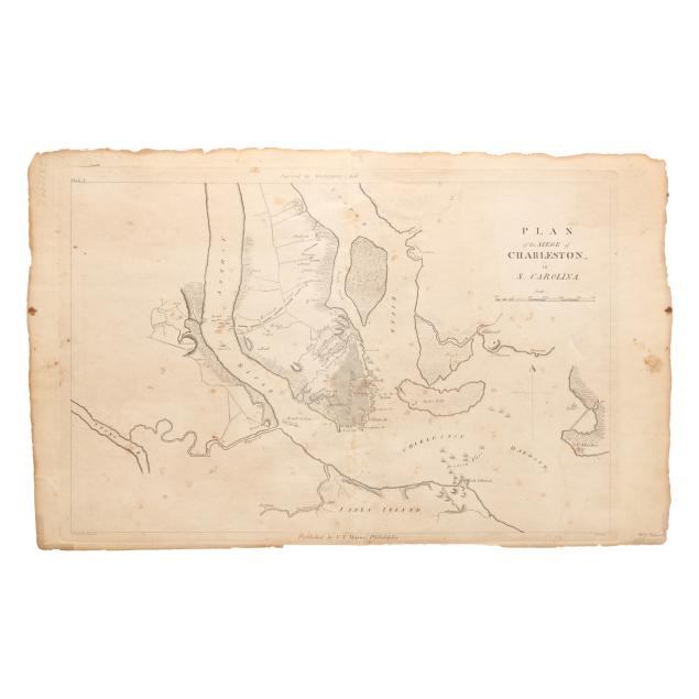
Lot 4027
Early 19th-Century Map Depicting the Siege of Charleston
Explore more items like this one.
Visit our Historical Department Historical
Lot Details & Additional Photographs
Sight size 10 x 15 in.
From the Estate of Charles E. and Mary Fraser, Hilton Head Island, South Carolina
Central fold, as issued, with evidence of removal from Marshall's book on verso; toning, scattered foxing, and edges with chipping and closed tears; not laid down; attached to mat at one corner with associated cloth tape and tape residue on verso.