Lot 4025
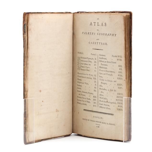
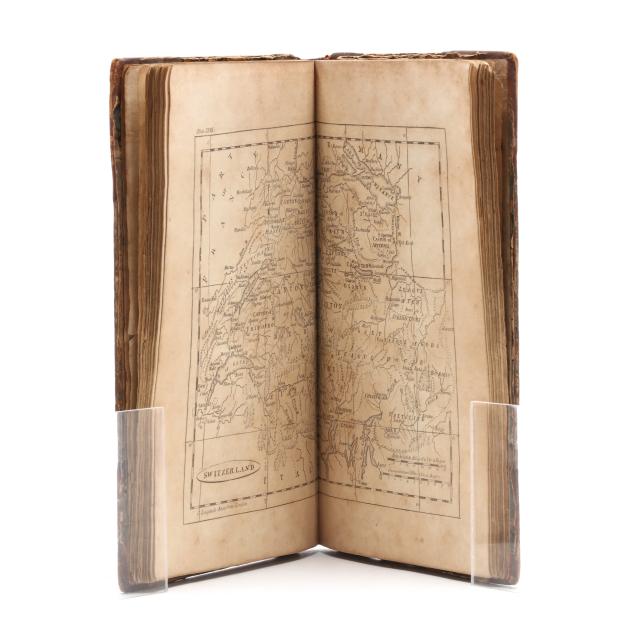
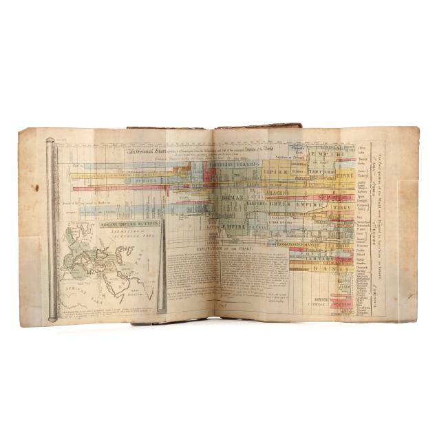
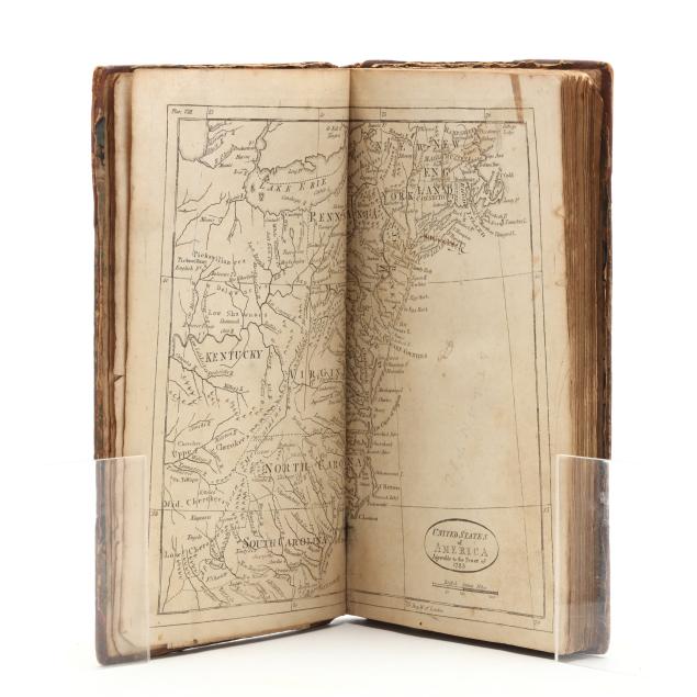
John Walker's Scarce Late-18th-Century Atlas
Explore more items like this one.
Visit our Historical Department Historical
Lot Details & Additional Photographs
8 1/2 x 5 1/4 in.
Private Collection
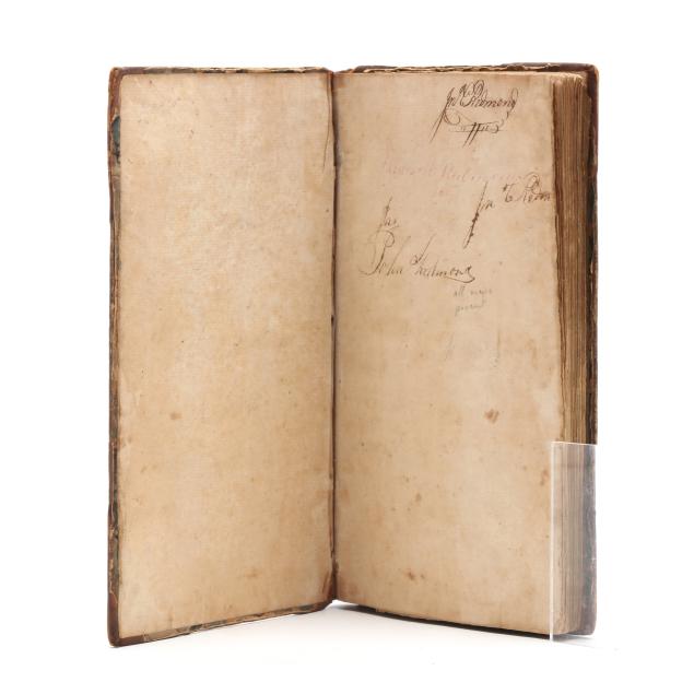
Boards with scuffing, light staining, and edge wear; joints rubbed and lightly creased with cracking starting at ends; spine with mild creasing and rubbing and a chip to the label; cracking at hinges yet still sturdy; interior with toning, scattered foxing, and occasional writing, staining including some minor damp stains, creasing, grime, edge wear, and small tears; map of Switzerland with area of thinned paper and associated small loss; endpapers with heavier wear and toning; maps reinforced at inner margins.